Flett Glacier, Mount Rainier National Park

Gallery (2)
Map
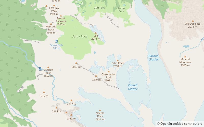
Map
Gallery
Facts and practical information
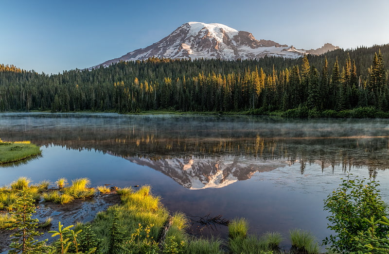
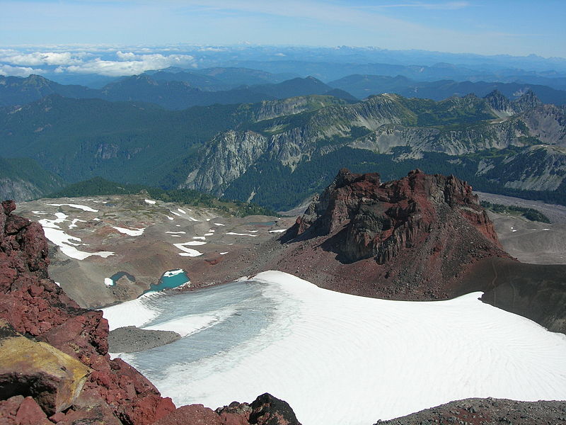
Flett Glacier refers to two glaciers on the northwestern flank of Mount Rainier in the U.S. state of Washington. The glaciers lie on a subsidiary peak of Rainier, the 8,364 feet Observation Rock. There are two sections of glacial ice, an eastern lobe at about 7,600 ft to 7,300 ft in elevation, a smaller western lobe at about 7,200 ft in elevation. Meltwater from the glacier flows into the Puyallup River. ()
Length: 1848 ftCoordinates: 46°54'20"N, 121°48'40"W
Address
Mount Rainier National Park
ContactAdd
Social media
Add
Day trips