Jim Lane's Fort, Holton
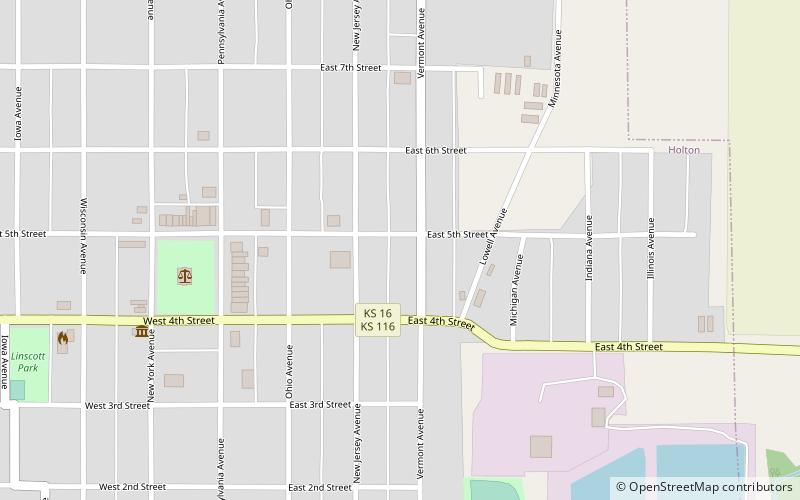
Map
Facts and practical information
Jim Lane's Fort, sometimes called Fort Jim Lane, was built in August 1856, in Holton, Kansas, United States. It was named to honor free-state leader James H. Lane, who helped organize the settlement of several towns in northeast Kansas Territory, including Holton. Holton was settled by about fifty free-state settlers at the time the fort was built. The fort, built to serve as a place of refuge for the townspeople, was built of logs. It measured 20 feet by 30 feet. ()
Built: 1856 (170 years ago)Coordinates: 39°27'53"N, 95°43'51"W
Address
Holton
ContactAdd
Social media
Add