Switzer Canyon, San Diego
Map

Map

Facts and practical information
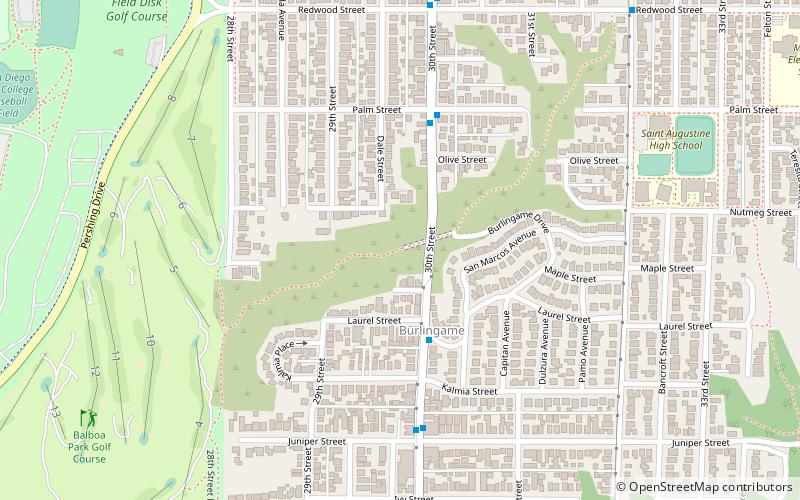
Switzer Canyon is a canyon in San Diego, California. It is situated to the east of Balboa Park and serves as the boundary between the neighborhoods of North Park and South Park in Central San Diego. Switzer Canyon remains an oasis of natural vegetation between some of the city's most urban neighborhoods and is a prime example of San Diego county's unique canyon-laced topography. ()
Elevation: 243 ft a.s.l.Coordinates: 32°43'59"N, 117°7'48"W
Address
30th St.Western San Diego (North Park)San Diego 92104
ContactAdd
Social media
Add
Day trips
Switzer Canyon – popular in the area (distance from the attraction)
Nearby attractions include: Balboa Park, Timken Museum of Art, San Diego Natural History Museum, San Diego Museum of Art.
Frequently Asked Questions (FAQ)
Which popular attractions are close to Switzer Canyon?
Nearby attractions include Morley Field Disc Golf Course, San Diego (12 min walk), North Park, San Diego (14 min walk), San Diego Velodrome, San Diego (18 min walk), Dryden Historic District, San Diego (20 min walk).
How to get to Switzer Canyon by public transport?
The nearest stations to Switzer Canyon:
Bus
Bus
- Bus Tour Unloading (30 min walk)
- Inspiration Point • Lines: Balboa Park Tram (32 min walk)


