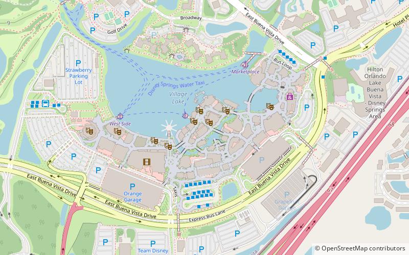
Pleasure Island, Lake Buena Vista
Map

Map

Facts and practical information
Pleasure Island was an area of the Downtown Disney shopping, dining and entertainment district at Walt Disney World Resort. It officially opened on May 1, 1989. In September 2008, all of its clubs were closed, but its retail stores and restaurants remained open. The area is now called The Landing and is the central part of Disney Springs. ()
Elevation: 92 ft a.s.l.Coordinates: 28°22'16"N, 81°31'5"W
Address
Downtown DisneyWalt Disney World Resort (Lake Buena Vista)Lake Buena Vista
ContactAdd
Social media
Add
Day trips
Pleasure Island – popular in the area (distance from the attraction)
Nearby attractions include: Disney Springs, DisneyQuest, Crush 'n' Gusher, Typhoon Lagoon Surf Pool.
Frequently Asked Questions (FAQ)
Which popular attractions are close to Pleasure Island?
Nearby attractions include Aerophile - The World Leader in Balloon Flight, Lake Buena Vista (3 min walk), Pop Gallery, Lake Buena Vista (6 min walk), La Nouba, Lake Buena Vista (8 min walk), Typhoon Lagoon Surf Pool, Lake Buena Vista (21 min walk).
How to get to Pleasure Island by public transport?
The nearest stations to Pleasure Island:
Bus
Bus
- Disney Springs Bus Station (5 min walk)
- 4 • Lines: 350 (11 min walk)


