Gervais Street Bridge, Columbia
Map
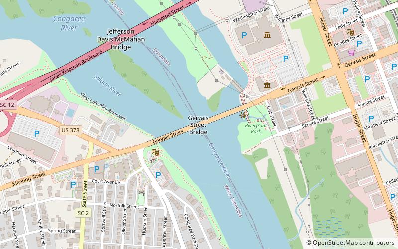
Map

Facts and practical information
Gervais Street Bridge is a historic bridge in South Carolina in the United States and it is listed on the National Register of Historic Places. It is an arch bridge constructed from reinforced concrete. Construction began in 1926 and the bridge was completed in 1928. It was added to the National Register of Historic Places in 1980. ()
Completed: February 1928 (98 years ago)Length: 1415 ftWidth: 36 ftCoordinates: 33°59'45"N, 81°3'3"W
Day trips
Gervais Street Bridge – popular in the area (distance from the attraction)
Nearby attractions include: Colonial Life Arena, South Carolina State Museum, EdVenture, Efird's Department Store.
Frequently Asked Questions (FAQ)
Which popular attractions are close to Gervais Street Bridge?
Nearby attractions include EdVenture, Columbia (5 min walk), SC Confederate Relic Room & Military Museum, Columbia (6 min walk), South Carolina State Museum, Columbia (7 min walk), New Brookland Historic District, Columbia (8 min walk).
How to get to Gervais Street Bridge by public transport?
The nearest stations to Gervais Street Bridge:
Train
Train
- Columbia (16 min walk)
