The Banks, Cincinnati
Map
Gallery
Facts and practical information
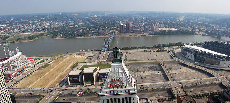
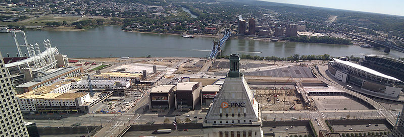
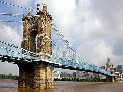
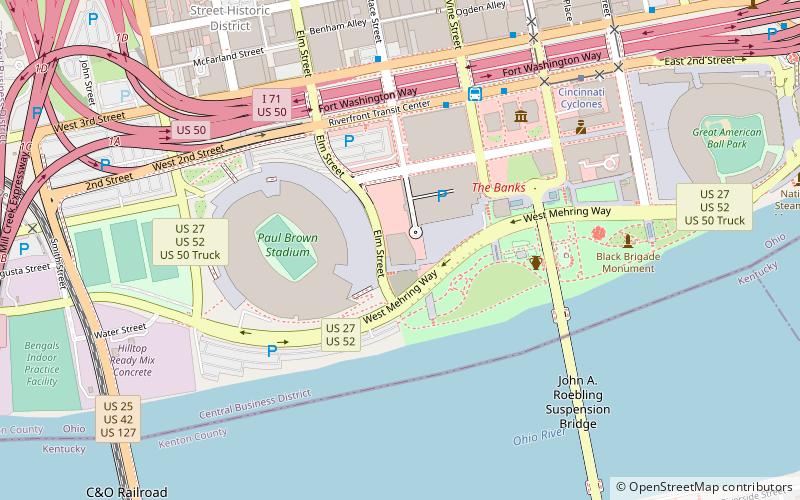
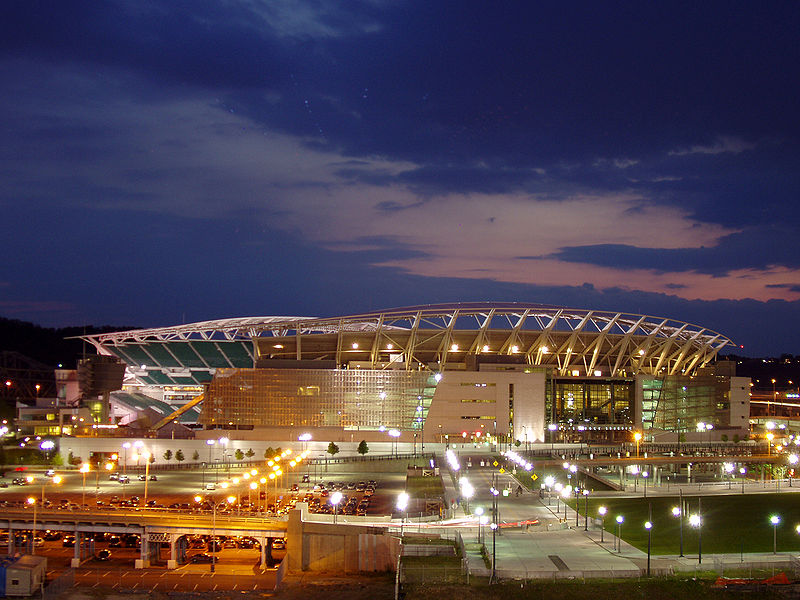
The Banks is a mixed-use development and neighborhood along the Ohio River in Cincinnati, Ohio, on the land between Paul Brown Stadium and Great American Ball Park. ()
Coordinates: 39°5'48"N, 84°30'32"W
Day trips
The Banks – popular in the area (distance from the attraction)
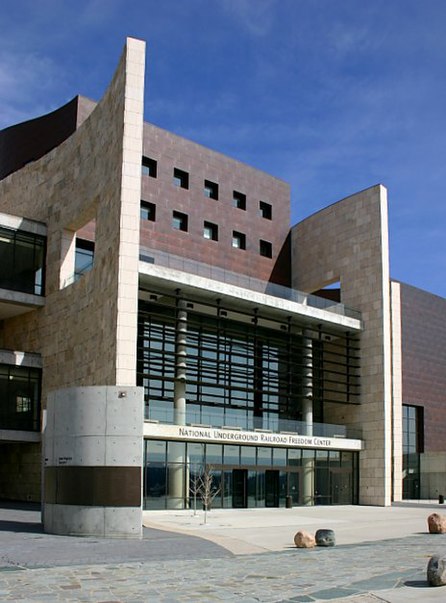
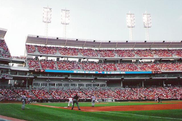
Nearby attractions include: National Underground Railroad Freedom Center, Great American Ball Park, Paul Brown Stadium, Heritage Bank Center.
Frequently Asked Questions (FAQ)
Which popular attractions are close to The Banks?
Nearby attractions include Cincinnati Reds Hall of Fame and Museum, Cincinnati (2 min walk), Smale Riverfront Park, Cincinnati (4 min walk), Great American Ball Park, Cincinnati (4 min walk), National Underground Railroad Freedom Center, Cincinnati (4 min walk).
How to get to The Banks by public transport?
The nearest stations to The Banks:
Tram
Bus
Tram
- Cincinnati Cyclones • Lines: 100 (3 min walk)
- 247 Telemarketing • Lines: 100 (8 min walk)
Bus
- Transit Center • Lines: M+ (4 min walk)
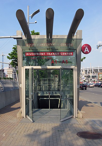
- Riverfront Transit Center (5 min walk)


