Wells River Bridge, Wells River
Map

Map

Facts and practical information
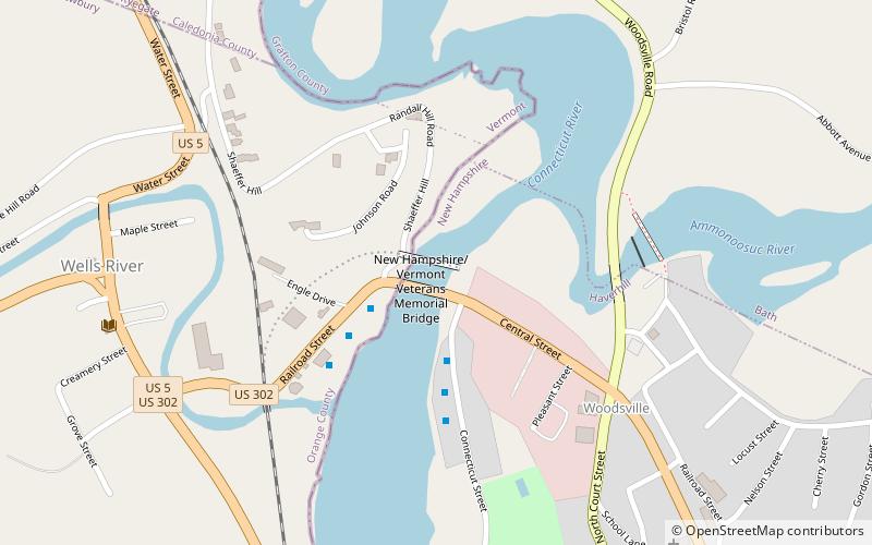
The Wells River Bridge between Wells River, Vermont and Woodsville, New Hampshire, is a steel double-decked Baltimore truss bridge over the Connecticut River. It was built in 1903 to carry rail and road traffic. ()
Completed: 1805 (221 years ago)Length: 253 ftCoordinates: 44°9'15"N, 72°2'26"W
Address
NewburyWells River
ContactAdd
Social media
Add
Day trips
Wells River Bridge – popular in the area (distance from the attraction)
Nearby attractions include: Haverhill–Bath Covered Bridge, Woodsville Opera Building, Ranger Bridge, Woodsville.
Frequently Asked Questions (FAQ)
Which popular attractions are close to Wells River Bridge?
Nearby attractions include Ranger Bridge, Wells River (1 min walk), Woodsville Opera Building, Wells River (4 min walk), Haverhill–Bath Covered Bridge, Wells River (5 min walk), Woodsville, Wells River (6 min walk).


