Mabry Mill, Thunder Ridge Wilderness
Map

Map

Facts and practical information
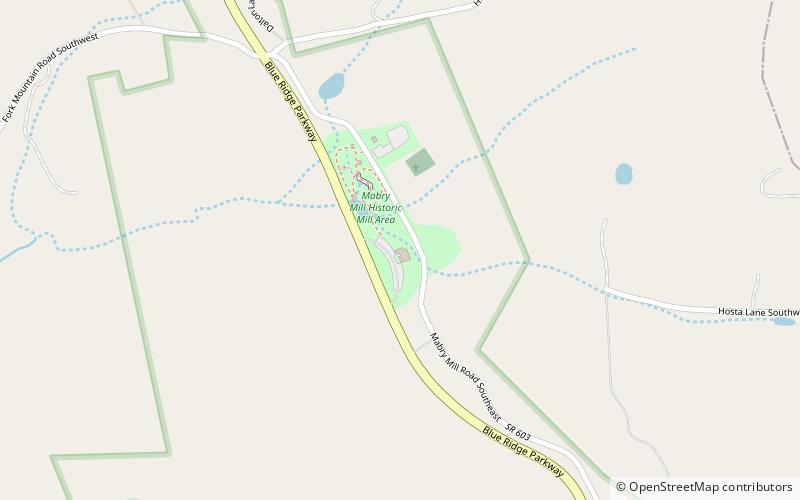
Mabry Mill is a watermill run by the National Park Service located at milepost 176.2 of Blue Ridge Parkway in Floyd County, Virginia. It is a tourist attraction mainly for the picturesque views of the mill itself. A short trail around the mill connects historical exhibits about life in rural Virginia. The trail allows visitors to view the gristmill, sawmill, and blacksmith shop. ()
Elevation: 2858 ft a.s.l.Coordinates: 36°45'0"N, 80°24'18"W
Address
266 Mabry Mill Rd SE, Meadows of Dan, VA 24120Thunder Ridge Wilderness
ContactAdd
Social media
Add
