Riverfront Towers, Detroit
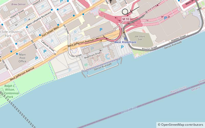
Map

Gallery

Facts and practical information
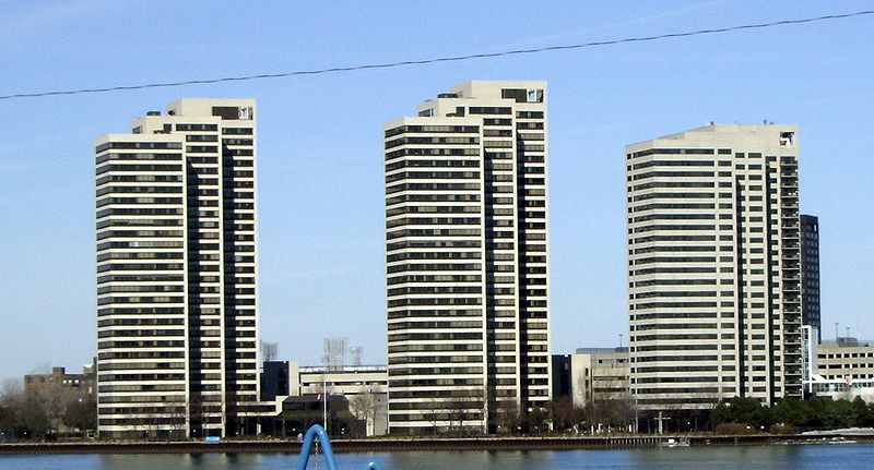
Riverfront Towers is an apartment and condominium complex of three high rise residential skyscrapers along the International Riverfront in Detroit, Michigan, United States. Each Riverfront Tower creates an ascending tier of three towers. ()
Completed: 1992 (34 years ago)Floors: 26Coordinates: 42°19'25"N, 83°3'17"W
Address
West Side IndustrialDetroit
ContactAdd
Social media
Add
Day trips
Riverfront Towers – popular in the area (distance from the attraction)
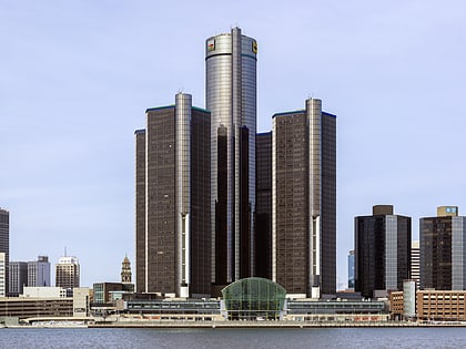
Nearby attractions include: Renaissance Center, Joe Louis Arena, Cliff Bell's, Guardian Building.
Frequently Asked Questions (FAQ)
Which popular attractions are close to Riverfront Towers?
Nearby attractions include Fort Street Presbyterian Church, Detroit (7 min walk), Patrick V. McNamara Federal Building, Detroit (13 min walk), UAW-Ford National Programs Center, Detroit (14 min walk), Penobscot Building Annex, Detroit (14 min walk).
How to get to Riverfront Towers by public transport?
The nearest stations to Riverfront Towers:
Light rail
Bus
Tram
Light rail
- Joe Louis Arena • Lines: Dpm (4 min walk)
- Convention Center • Lines: Dpm (10 min walk)
Bus
- Fort / 5th • Lines: 19, 29 (6 min walk)
- Fort / 3rd • Lines: 19, 29 (8 min walk)
Tram
- Congress Street • Lines: QLine (16 min walk)
- Campus Martius • Lines: QLine (18 min walk)


