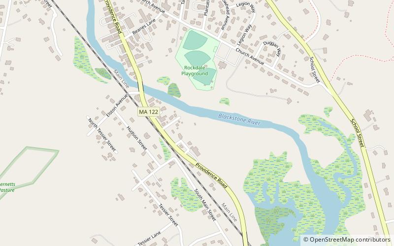
Blackstone Canal, Worcester
Map

Map

Facts and practical information
The Blackstone Canal was a waterway linking Worcester, Massachusetts, to Providence, Rhode Island through the Blackstone Valley via a series of locks and canals during the early 19th century. ()
Built: 1824 (202 years ago)Coordinates: 42°8'56"N, 71°38'48"W
Address
NorthbridgeWorcester
ContactAdd
Social media
Add
Day trips
Blackstone Canal – popular in the area (distance from the attraction)
Nearby attractions include: Stanley Woolen Mill, Mendon Twin Drive-In, West Hill Dam, Purgatory Chasm State Reservation.


