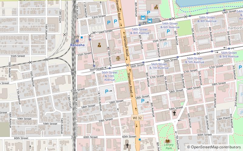
Civic Center Historic District, Kenosha
Map

Map

Facts and practical information
The Civic Center Historic District is a group of six large Neoclassical Revival buildings around Civic Center Park in Kenosha, Wisconsin, United States, reflecting the city's history as Kenosha County seat. ()
Elevation: 604 ft a.s.l.Coordinates: 42°35'2"N, 87°49'22"W
Address
Kenosha Central Business DistrictKenosha
ContactAdd
Social media
Add
Day trips
Civic Center Historic District – popular in the area (distance from the attraction)
Nearby attractions include: Kenosha North Pier Light, Kenosha Public Museum, Simmons Island Beach House, Kenosha Light.
Frequently Asked Questions (FAQ)
Which popular attractions are close to Civic Center Historic District?
Nearby attractions include Dinosaur Discovery Museum, Kenosha (2 min walk), Bradford Community Church, Kenosha (4 min walk), St. Matthew's Episcopal Church, Kenosha (7 min walk), Simmons Library, Kenosha (8 min walk).
How to get to Civic Center Historic District by public transport?
The nearest stations to Civic Center Historic District:
Tram
Train
Bus
Tram
- 56th Street & 10th Avenue • Lines: Kenosha Streetcar (2 min walk)
- 11th Avenue & 56th Street • Lines: Kenosha Streetcar (3 min walk)
Train
- Kenosha (6 min walk)
Bus
- Kenosha Transit Center (6 min walk)
- Kenosha Downtown Transit Center (6 min walk)


