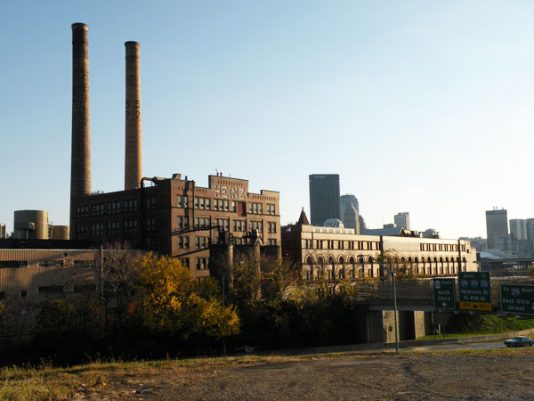
Troy Hill, Pittsburgh
Map
Gallery
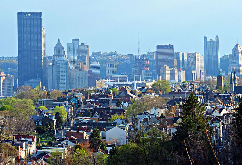
Facts and practical information
Troy Hill is a neighborhood in Pittsburgh, Pittsburgh, Pennsylvania's North Side. It has a zip code of 15212, and has representation on Pittsburgh City Council by the council member for District 1. ()
Area: 0.46 mi²Coordinates: 40°27'46"N, 79°58'59"W
Day trips
Troy Hill – popular in the area (distance from the attraction)
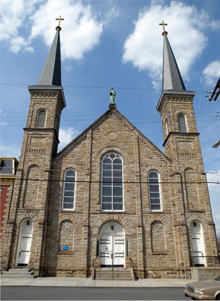
Nearby attractions include: PNC Park, Immaculate Heart of Mary Church, 33rd Street Railroad Bridge, The Doughboy.
Frequently Asked Questions (FAQ)
Which popular attractions are close to Troy Hill?
Nearby attractions include Saint Anthony Chapel, Pittsburgh (4 min walk), Herr's Island Railroad Bridge, Pittsburgh (5 min walk), 30th Street Bridge, Pittsburgh (6 min walk), 31st Street Bridge, Pittsburgh (10 min walk).
How to get to Troy Hill by public transport?
The nearest stations to Troy Hill:
Bus
Bus
- 31st Street Bridge Ramp at 31st St Bridge • Lines: 1, 2 (6 min walk)
- East Ohio St at Heinz St • Lines: 1, 2 (19 min walk)


