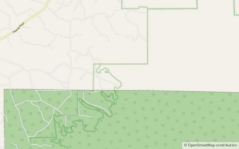
Black River, Okefenokee National Wildlife Refuge

Map
Facts and practical information
The Black River is a 13-mile-long waterway that flows into the Okefenokee Swamp in the U.S. state of Georgia. ()
Coordinates: 31°1'17"N, 82°20'57"W
Address
Okefenokee National Wildlife Refuge
ContactAdd
Social media
Add
Day trips
Black River – popular in the area (distance from the attraction)
Nearby attractions include: Okefenokee Swamp Park.
