Amelia Island State Park, Fernandina Beach
Map

Map

Facts and practical information
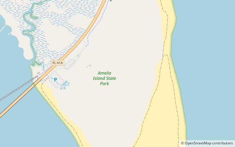
Amelia Island State Recreation Area is a state park in Florida, United States. Its location is 7 miles north of Little Talbot Island State Park on SR A1A, and 8 miles south of Fernandina Beach on Amelia Island along the Atlantic coastal plain. This park consists of 200 acres of beaches, salt marshes and coastal maritime forests. ()
Elevation: 3 ft a.s.l.Coordinates: 30°31'21"N, 81°26'23"W
Address
Highway A1AFernandina Beach 32304
Contact
(904) 321-2320
Social media
Add
Day trips
Amelia Island State Park – popular in the area (distance from the attraction)
Nearby attractions include: Amelia Island Plantation, George Crady Bridge Fishing Pier, The Plantation Shop, Big Talbot Island State Park.


