Pershing Field, Jersey City
Map

Map

Facts and practical information
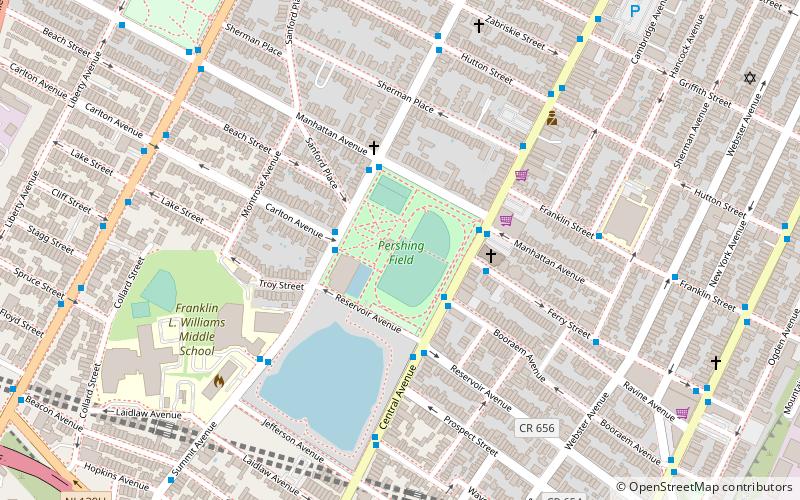
Pershing Field is a city square and park in the Heights of Jersey City, New Jersey in the United States. Approximately 13.5 acres it is adjacent to Jersey City Reservoir No. 3, with which it creates a large open recreational and nature area bounded by Summit Avenue, Central Avenue, and Manhattan Avenue. ()
Elevation: 121 ft a.s.l.Coordinates: 40°44'32"N, 74°3'13"W
Day trips
Pershing Field – popular in the area (distance from the attraction)
Nearby attractions include: Newport Centre, White Eagle Hall, Stanley Theater, Loew's Jersey Theatre.
Frequently Asked Questions (FAQ)
Which popular attractions are close to Pershing Field?
Nearby attractions include Jersey City Reservoir No. 3, Jersey City (5 min walk), Central Avenue, Jersey City (8 min walk), The Heights, Jersey City (10 min walk), Western Slope, Jersey City (13 min walk).
How to get to Pershing Field by public transport?
The nearest stations to Pershing Field:
Bus
Light rail
Metro
Bus
- Central Avenue at Manhattan Avenue • Lines: 119, 88 (3 min walk)
- JFK Boulevard at Carlton Avenue • Lines: 125 (8 min walk)
Light rail
- 2nd Street • Lines: Hblr (15 min walk)
- 9th Street–Congress Street • Lines: Hblr (23 min walk)
Metro
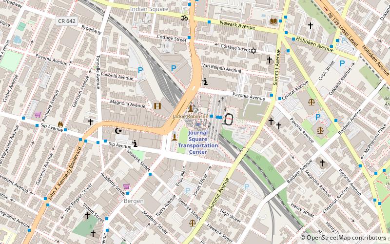
- Journal Square Transportation Center • Lines: Jsq–33, JSQ–33 via HOB, Nwk–Wtc (23 min walk)
- Newport • Lines: Hob–Wtc, Jsq–33, JSQ–33 via HOB (38 min walk)


