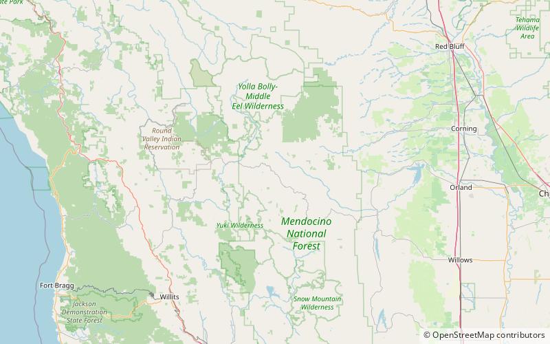
Mendocino Pass, Mendocino National Forest
Map

Map

Facts and practical information
Mendocino Pass is a mountain pass located in the Northern Coast Ranges in California. The pass, in the extreme northwest corner of Glenn County, is at an elevation of about 5,006 feet and at the gap, two dirt roads intersect. One of them is US Forest Highway 7, a dirt road connecting two disjointed sections of State Route 162. The pass and dirt roads are closed in winter due to heavy snowfall. ()
Maximum elevation: 4984 ftCoordinates: 39°47'39"N, 122°56'6"W
Address
Mendocino National Forest
ContactAdd
Social media
Add
Day trips
Mendocino Pass – popular in the area (distance from the attraction)
Nearby attractions include: Anthony Peak, Black Butte.


