Lost Pass, Olympic National Park
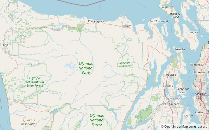
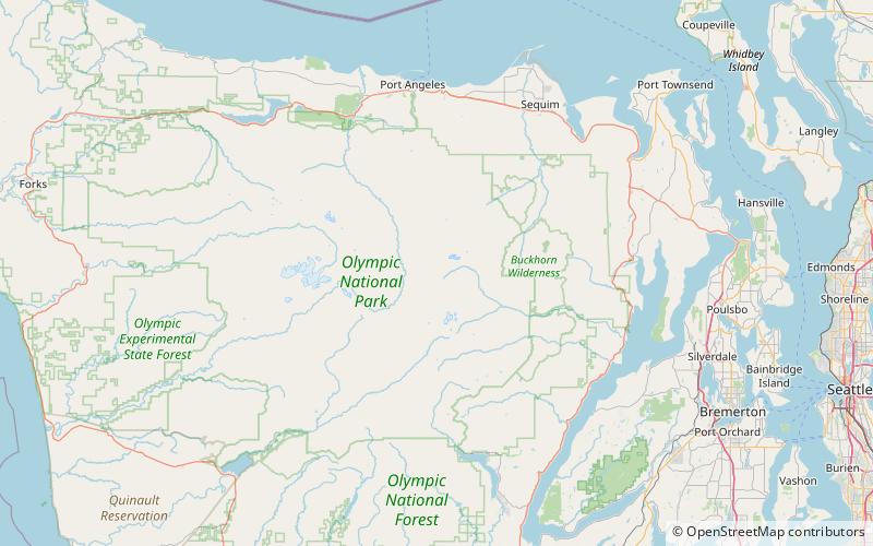
Map
Facts and practical information
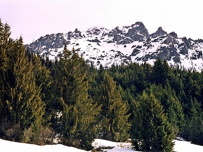
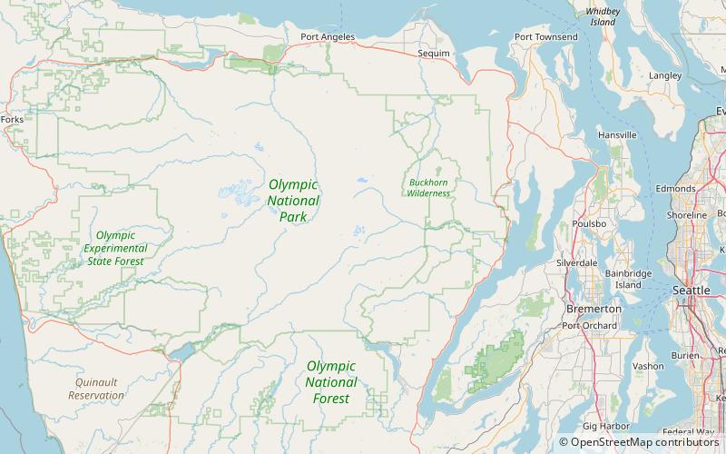
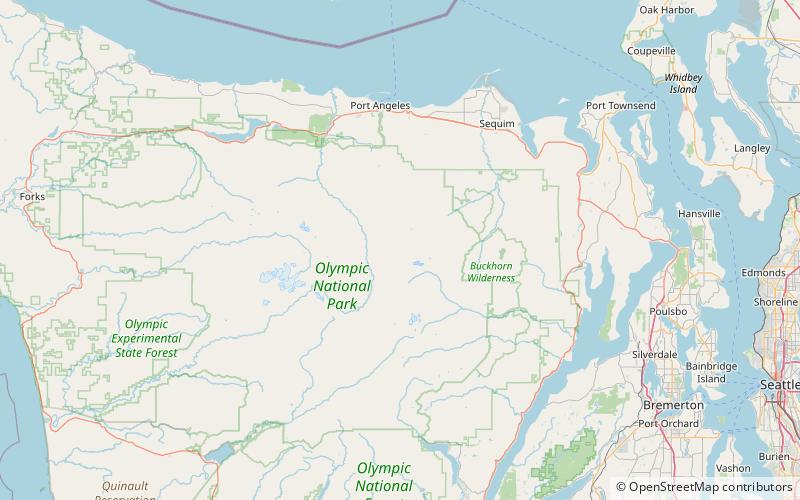
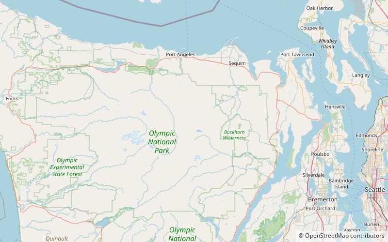
Lost Pass is a mountain pass crossed by hiking trail in the Olympic Mountains of the state of Washington. It is located on a high ridgeline that separates headwaters of the Dosewallips River from those of the Lost River, just to the west of Lost Peak in the Olympic National Park. ()
Maximum elevation: 5571 ftCoordinates: 47°48'24"N, 123°20'31"W
Address
Olympic National Park
ContactAdd
Social media
Add
Day trips
Lost Pass – popular in the area (distance from the attraction)
Nearby attractions include: Mount Claywood, Mount Walkinshaw, Mount Deception, Gilhooley Tower.
