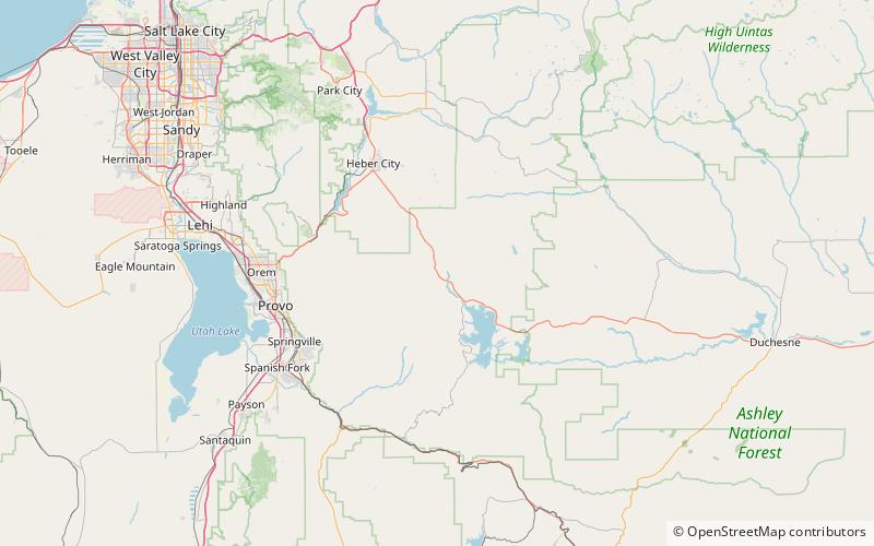
Daniel's Pass, Wasatch–Cache National Forest

Map
Facts and practical information
Daniels Pass is a high mountain pass in Wasatch County, Utah traversed by U.S. Route 40. It is the summit of Daniels Canyon on the road between Heber and Strawberry Reservoir. The pass is located within the Uinta National Forest and just inside the Uintah and Ouray Indian Reservation. ()
Maximum elevation: 8020 ftCoordinates: 40°17'50"N, 111°15'7"W
Address
Wasatch–Cache National Forest
ContactAdd
Social media
Add