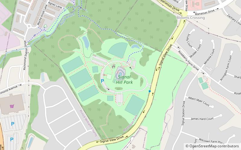
Signal Hill, Manassas
Map

Map

Facts and practical information
Signal Hill is a historic Confederate Army military site in Prince William County, Virginia. It is from this location, a signal station atop the hill, that Confederate observers in 1861 spotted Union Army troops attempting to cross Sudley Ford. The Confederate response to this maneuver began the First Battle of Bull Run. ()
Built: 1861 (165 years ago)Elevation: 282 ft a.s.l.Coordinates: 38°45'16"N, 77°26'27"W
Address
Manassas
ContactAdd
Social media
Add
Day trips
Signal Hill – popular in the area (distance from the attraction)
Nearby attractions include: Splash Down Waterpark, Manassas Mall, G. Richard Pfitzner Stadium, Broad Run Golf and Practice Facility.
Frequently Asked Questions (FAQ)
How to get to Signal Hill by public transport?
The nearest stations to Signal Hill:
Train
Train
- Manassas Park (20 min walk)


