Pima Canyon, Tucson
Map
Gallery
Facts and practical information
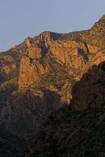
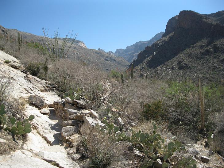
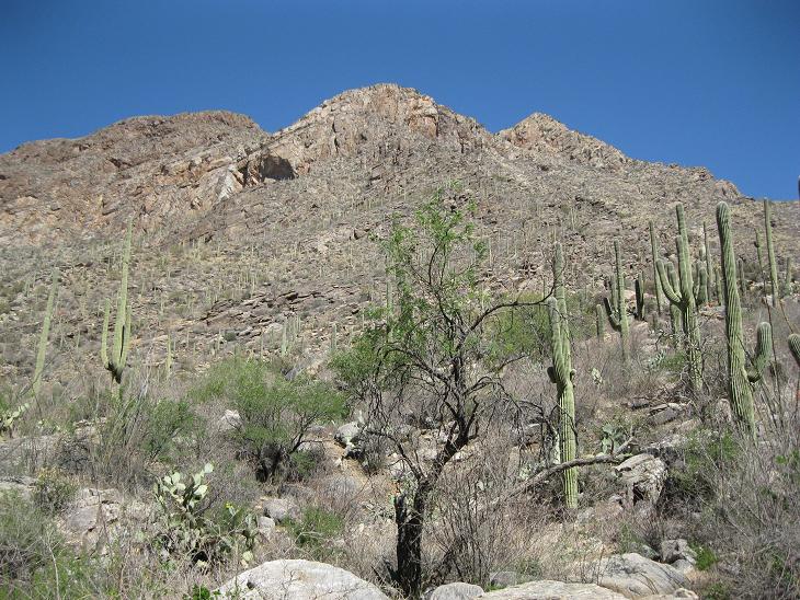
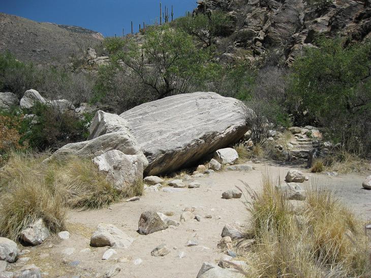
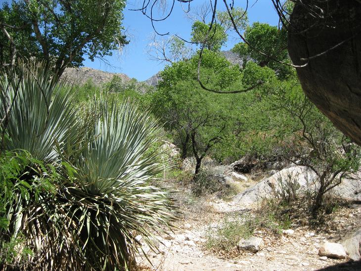
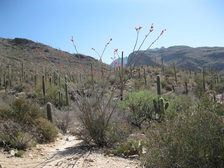
Pima Canyon is a major canyon located in the Santa Catalina Mountains, north of Catalina Foothills and Tucson, Arizona, US. Pusch Ridge forms the northwestern cliffs of Pima Canyon, dramatically rising from Pima Creek on the canyon floor. Pima Canyon varies greatly in elevation, from 2,900 feet above sea level at Pima Creek to 6,350 feet at Pima Saddle. Mount Kimball is the highest peak in the vicinity of the canyon. ()
Length: 5 miCoordinates: 32°12'36"N, 110°55'12"W
Address
Central TucsonTucson
ContactAdd
Social media
Add
Day trips
Pima Canyon – popular in the area (distance from the attraction)
Nearby attractions include: Century El Con 20, Reid Park Zoo, Gene C. Reid Park, Tucson Botanical Gardens.
Frequently Asked Questions (FAQ)
Which popular attractions are close to Pima Canyon?
Nearby attractions include Reid Park Zoo, Tucson (3 min walk), Gene C. Reid Park, Tucson (4 min walk), Tucson Botanical Gardens, Tucson (23 min walk).


