Thayer Lake South Shelter Cabin, Admiralty Island

Map
Facts and practical information
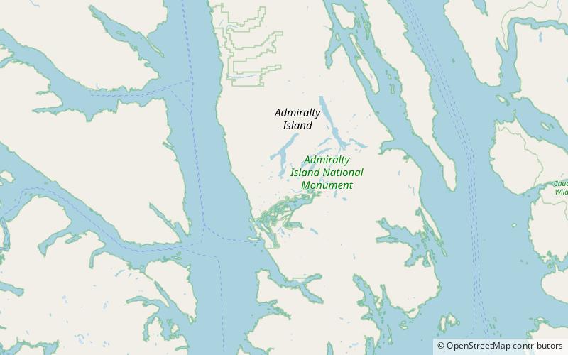
The Thayer Lake South Shelter Cabin is a historic backcountry shelter in the Admiralty Island National Monument, part of the Tongass National Forest in Southeast Alaska. It was one of a number of such facilities built by Civilian Conservation Corps on the Admiralty Island Canoe Route between 1933 and 1937. This cabin, a three-sided Adirondack-style log structure with shake walls and roof, was built in 1935, and is located near the southern tip of Thayer Lake, facing a reedy stream blocked by a beaver dam. A portage trail runs nearby. ()
Built: 1936 (90 years ago)Coordinates: 57°35'51"N, 134°28'12"W
Address
Admiralty Island
ContactAdd
Social media
Add
Day trips
Thayer Lake South Shelter Cabin – popular in the area (distance from the attraction)
Nearby attractions include: Admiralty Island.
