Powder River Pass, Bighorn National Forest

Gallery (1)
Map
Map
Facts and practical information
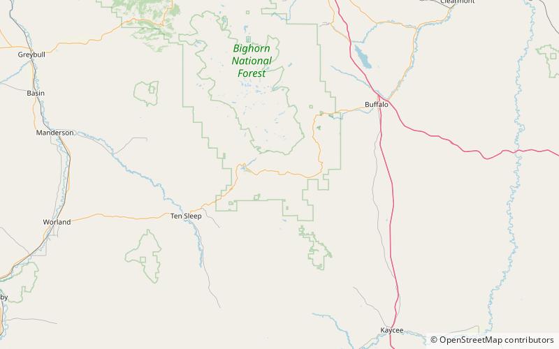
Powder River Pass is a mountain pass in the Bighorn Mountains in Wyoming traversed by U.S. Highway 16. Also known as Muddy Pass, it is the highest point on Highway 16. It is between the towns of Buffalo and Ten Sleep. ()
Maximum elevation: 9666 ftCoordinates: 44°8'59"N, 107°4'52"W
Address
Bighorn National Forest
ContactAdd
Social media
Add