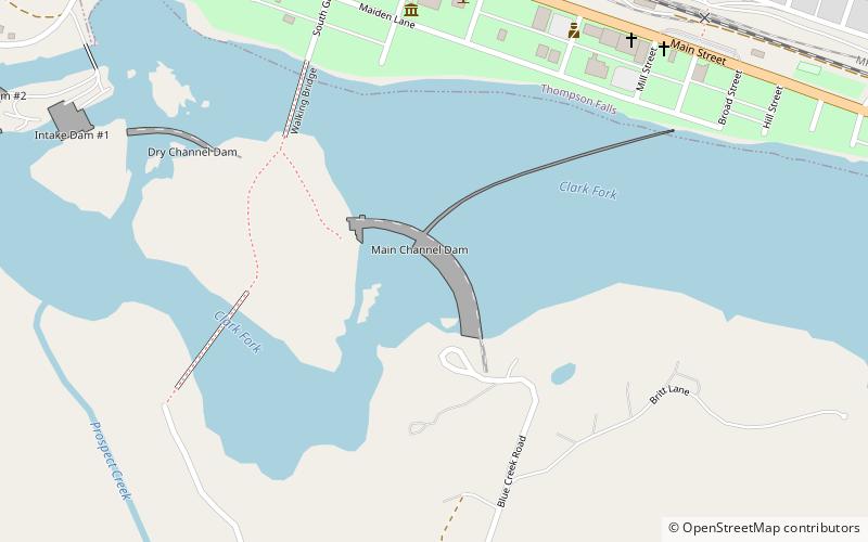
Thompson Falls Dam, Thompson Falls
Map
Facts and practical information
Thompson Falls Dam is a dam in Sanders County, Montana, in the northwestern part of the state. ()
Coordinates: 47°35'28"N, 115°21'4"W
Day trips
Thompson Falls Dam – popular in the area (distance from the attraction)
Nearby attractions include: Sanders County Jail.
