Scott's Addition Historic District, Richmond
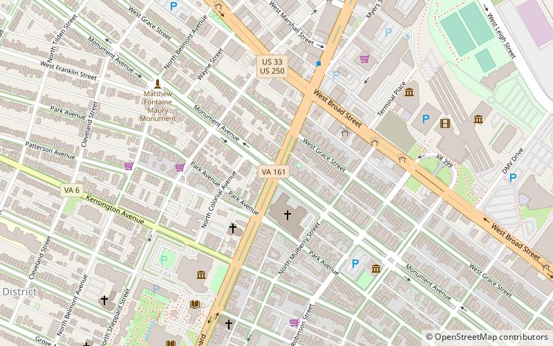
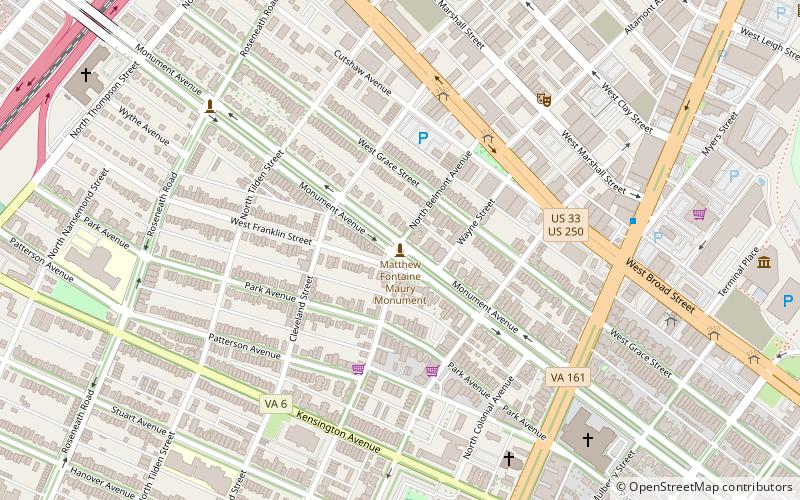
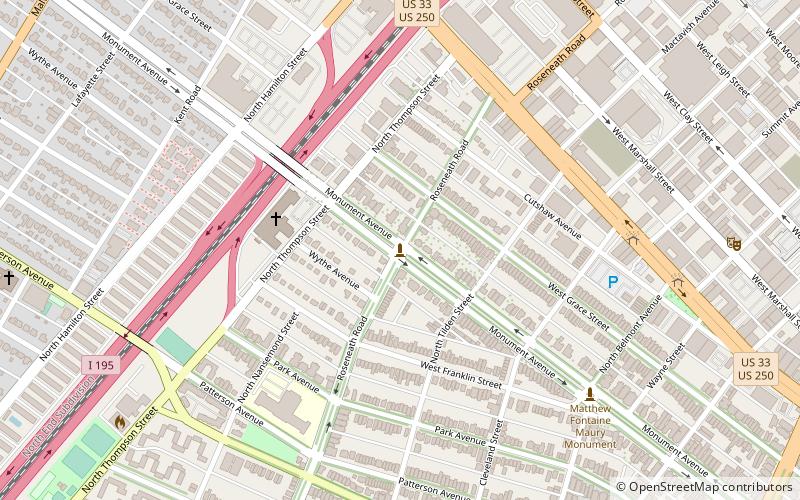
Map
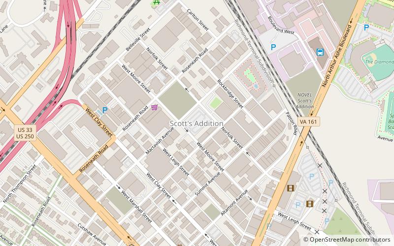
Map

Facts and practical information
The Scott's Addition Historic District is a national historic district located in Richmond, Virginia. ()
Built: 1948 (78 years ago)Coordinates: 37°34'11"N, 77°28'16"W
Address
Carytown - Museum District (Scott's Addition)Richmond
ContactAdd
Social media
Add
Day trips
Scott's Addition Historic District – popular in the area (distance from the attraction)
Nearby attractions include: Virginia Museum of Fine Arts, The Diamond, Siegel Center, Cary Street Park and Shop Center.
Frequently Asked Questions (FAQ)
Which popular attractions are close to Scott's Addition Historic District?
Nearby attractions include Studio Two Three, Richmond (5 min walk), The Veil Brewing Co., Richmond (7 min walk), Movieland at Boulevard Square, Richmond (7 min walk), WTVR TV Tower, Richmond (10 min walk).
How to get to Scott's Addition Historic District by public transport?
The nearest stations to Scott's Addition Historic District:
Bus
Bus
- Greyhound Bus Station (9 min walk)
- FlixBus Richmond • Lines: 2601 (12 min walk)


