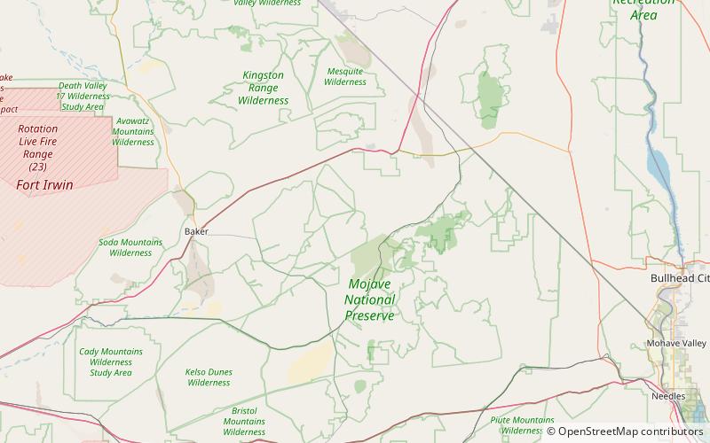
Cima volcanic field, Mojave National Preserve
Map

Map

Facts and practical information
Cima volcanic field is a volcanic field in San Bernardino County, California, close to the border with Nevada. The volcanic field covers a surface area of 600 square kilometres within the Mojave National Preserve west of the Cima Dome and consists of about 40 volcanic cones with about 60 lava flows. The volcanic cones range from simple cones over multi-cratered mountains to eroded hills, and lava flows are up to 9.1 kilometres long. At least one lava tube exists in the field and can be visited. ()
Coordinates: 35°17'22"N, 115°35'6"W
Day trips
Cima volcanic field – popular in the area (distance from the attraction)
Nearby attractions include: Mojave Memorial Cross, Ivanpah Mountains.


