Abraham Lincoln Bridge, Louisville
Map
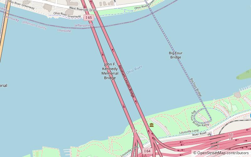
Map

Facts and practical information
The Abraham Lincoln Bridge is a six-lane, single-deck cable-stayed bridge carrying northbound Interstate 65 across the Ohio River, connecting Louisville, Kentucky, and Jeffersonville, Indiana. The main span is 700 feet and the bridge has a total length of 2,100 feet. It is named after U.S. President Abraham Lincoln, who was born in Kentucky and grew up in Southern Indiana. ()
Length: 2100 ftCoordinates: 38°15'51"N, 85°44'33"W
Address
Louisville
ContactAdd
Social media
Add
Day trips
Abraham Lincoln Bridge – popular in the area (distance from the attraction)
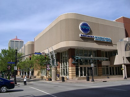
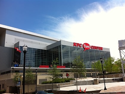
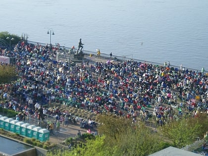
Nearby attractions include: Louisville Slugger Field, Kentucky International Convention Center, KFC Yum! Center, Louisville Waterfront Park.
Frequently Asked Questions (FAQ)
Which popular attractions are close to Abraham Lincoln Bridge?
Nearby attractions include John F. Kennedy Memorial Bridge, Louisville (2 min walk), Big Four Bridge, Louisville (6 min walk), Louisville Waterfront Park, Louisville (10 min walk), Big Four Station, Louisville (12 min walk).
How to get to Abraham Lincoln Bridge by public transport?
The nearest stations to Abraham Lincoln Bridge:
Bus
Bus
- Slugger Field Parking • Lines: 77Witherspoon (14 min walk)
- Main / Jackson • Lines: 77West (17 min walk)


