Waller Mill Park, Williamsburg
Map
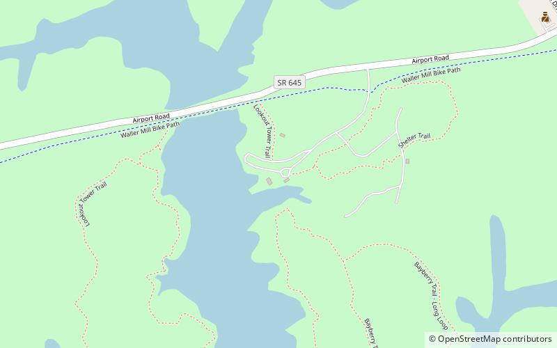
Map

Facts and practical information
Waller Mill Park (address: 901 Airport Rd) is a place located in Williamsburg (Virginia state) and belongs to the category of park, relax in park.
It is situated at an altitude of 43 feet, and its geographical coordinates are 37°18'54"N latitude and 76°42'14"W longitude.
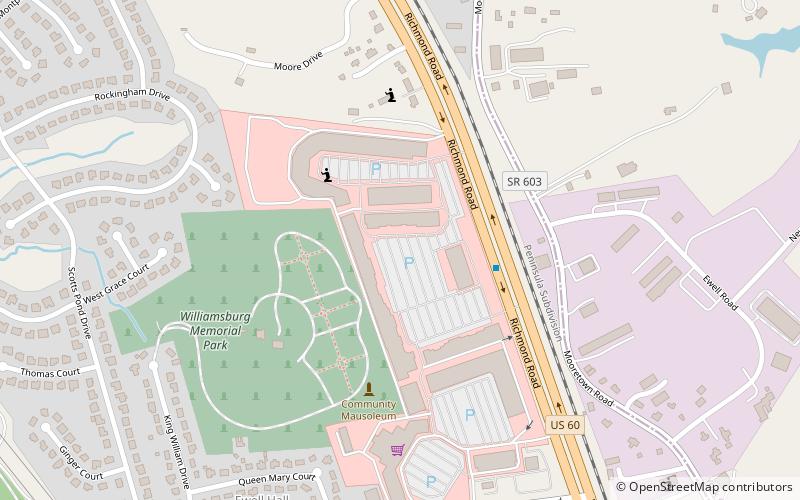
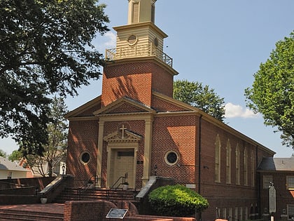
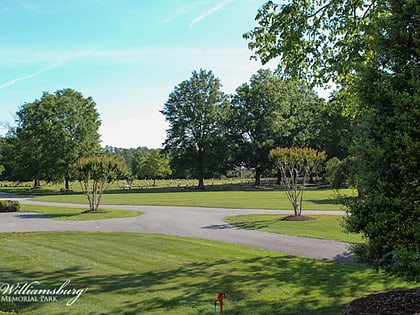
Among other places and attractions worth visiting in the area are: Saint Demetrios Greek Orthodox Church - Williamsburg (church, 40 min walk), Williamsburg Premium Outlets (shopping centre, 48 min walk), Williamsburg Memorial Park (cemetery, 51 min walk).
Elevation: 43 ft a.s.l.Coordinates: 37°18'54"N, 76°42'14"W
Day trips
Waller Mill Park – popular in the area (distance from the attraction)
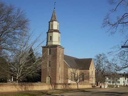
Nearby attractions include: Governor's Palace, Bruton Parish Church, St. George Tucker House, Peyton Randolph House.


