Lyndhurst Draw, Lyndhurst
Map

Map

Facts and practical information
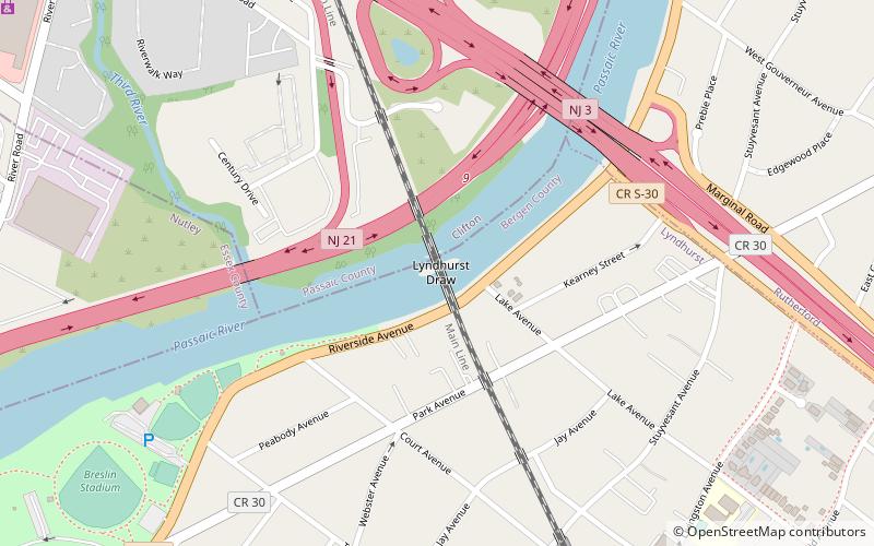
The Lyndhurst Draw is a railroad bridge crossing the Passaic River between Clifton and Lyndhurst in northeastern New Jersey. Built in 1903, it is owned and operated by New Jersey Transit Rail Operations. ()
Opened: 1903 (123 years ago)Length: 441 ftCoordinates: 40°49'14"N, 74°7'36"W
Address
LyndhurstLyndhurst
ContactAdd
Social media
Add
Day trips
Lyndhurst Draw – popular in the area (distance from the attraction)
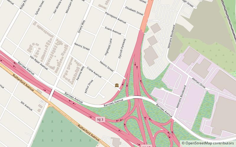
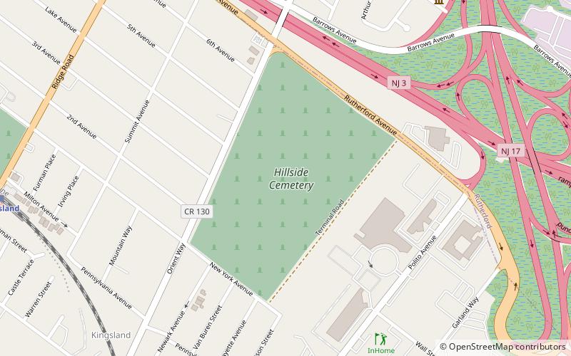
Nearby attractions include: Meadowlands Museum, Kingsland Manor, Yereance–Berry House, Hillside Cemetery.
Frequently Asked Questions (FAQ)
Which popular attractions are close to Lyndhurst Draw?
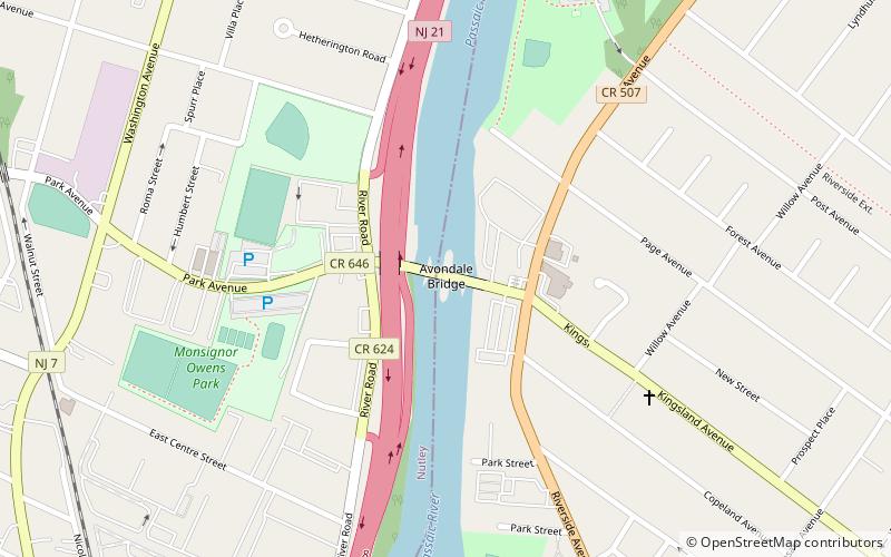
Nearby attractions include Eighth Street Bridge, Passaic (1 min walk), River Road School, Lyndhurst (15 min walk), Kingsland Manor, Nutley (23 min walk), Kingsland Avenue Bridge, Nutley (24 min walk).


