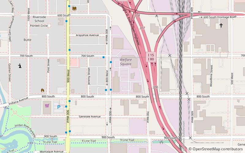
Welfare Square, Salt Lake City

Gallery (1)
Map
Map
Facts and practical information
Welfare Square is a complex in downtown Salt Lake City, Utah owned and operated by The Church of Jesus Christ of Latter-day Saints, to provide material assistance to poor and otherwise needy individuals and families. Welfare Square is part of the Church's Church Welfare System. It includes a 178-foot grain silo, fruit orchards, a milk-processing plant, a cannery, a bakery, a Deseret Industries thrift store, a private employment office, and the LDS Church's largest Bishop's storehouse, as well as associated administrative offices. ()
Coordinates: 40°45'11"N, 111°54'47"W
Address
Westside (Poplar Grove)Salt Lake City
ContactAdd
Social media
Add
Getting there by public transportation
Public transportation stops near this location
- Bus
- Light rail
- Train
 Bus
Bus
- Calculate routeSalt Lake Central 17 min walk
- Calculate routeSalt Lake Central 17 min walk
- Calculate route900 South 23 min walk
- Calculate routeOld GreekTown 23 min walk
- Calculate routePlanetarium 28 min walk
- Calculate routeSalt Lake Central Station 19 min walk
- Calculate routeGreyhound Bus Lines 19 min walk
- Calculate routeSalt Lake Central 20 min walk
- Calculate route400 S @ 198 W 26 min walk
Day trips


Frequently Asked Questions (FAQ)
Which popular attractions are close to Welfare Square?
Nearby attractions include Chapman Branch Library, Salt Lake City (8 min walk), International Peace Gardens, Salt Lake City (15 min walk), Kilby Court, Salt Lake City (16 min walk), Bend in the River, Salt Lake City (18 min walk).
How to get to Welfare Square by public transport?
The nearest stations to Welfare Square:
Train
Light rail
Bus
Train
- Salt Lake Central (17 min walk)
Light rail
- Salt Lake Central • Lines: 701 (17 min walk)
- 900 South • Lines: 701, 703, 704 (23 min walk)
Bus
- Salt Lake Central Station • Lines: 220 (19 min walk)
- Greyhound Bus Lines (19 min walk)