Potts Creek Rockshelter, Hoosier National Forest

Gallery (1)
Map
Map
Facts and practical information
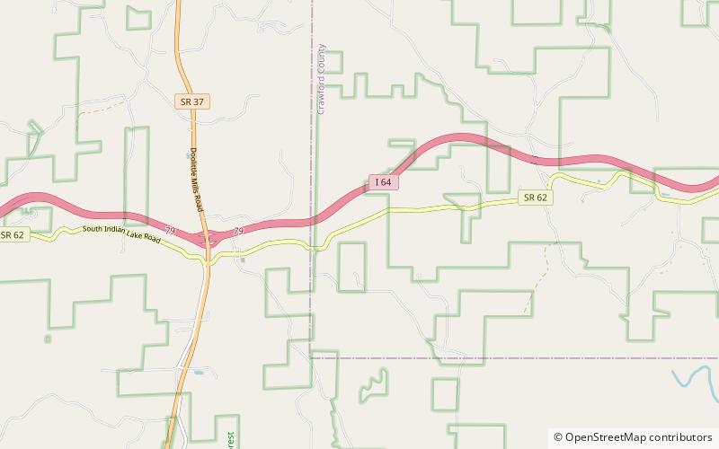
The Potts Creek Rockshelter Archeological Site, within Hoosier National Forest in Crawford County, Indiana, was a camp for Archaic, Woodland, and Paleo-Indian Indians. It is currently unoccupied by habitation. ()
Coordinates: 38°13'42"N, 86°33'45"W
Address
Hoosier National Forest
ContactAdd
Social media
Add
Day trips
Potts Creek Rockshelter – popular in the area (distance from the attraction)
Nearby attractions include: Jacob Rickenbaugh House.
