Lac la Croix Research Natural Area, Boundary Waters Canoe Area Wilderness

Map
Facts and practical information
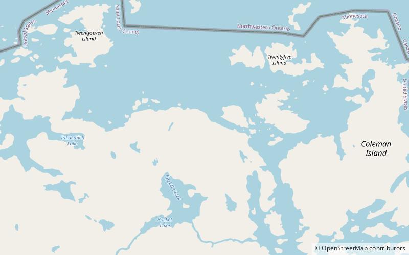
Lac la Croix Research Natural Area is a natural area that is protected by the United States Department of Agriculture, specifically through the branch of the Forest Service. It was established in 1942 and consists of 973 acres of land. It is located in St. Louis County, Minnesota and is part of the Superior National Forest. ()
Established: 1942 (84 years ago)Coordinates: 48°19'60"N, 92°7'0"W
Address
Boundary Waters Canoe Area Wilderness
ContactAdd
Social media
Add