Castro Peak, Santa Monica Mountains National Recreation Area
Map
Map

Facts and practical information
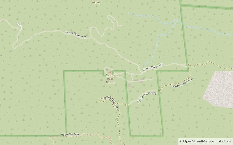
Castro Peak, at 2,826 feet, is the highest peak in the middle part of the Santa Monica Mountains and is in the Santa Monica Mountains National Recreation Area. The town of Malibu is located to the southeast of the peak. ()
Elevation: 2826 ftProminence: 1037 ftCoordinates: 34°5'8"N, 118°47'6"W
Address
Santa Monica Mountains National Recreation Area
ContactAdd
Social media
Add
Day trips
Castro Peak – popular in the area (distance from the attraction)
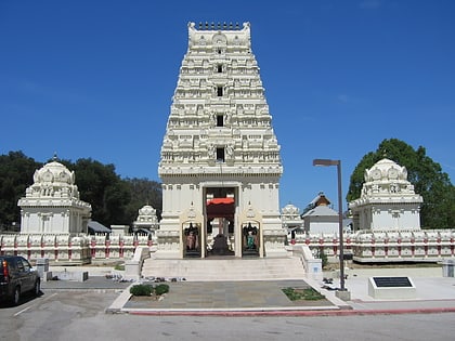
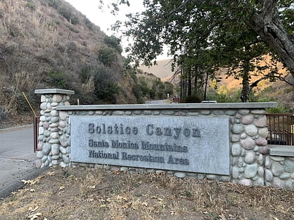
Nearby attractions include: Malibu Hindu Temple, Solstice Canyon, Malibu Creek State Park, Corral Canyon.

