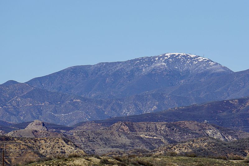
Burnt Peak, Angeles National Forest

Gallery (2)
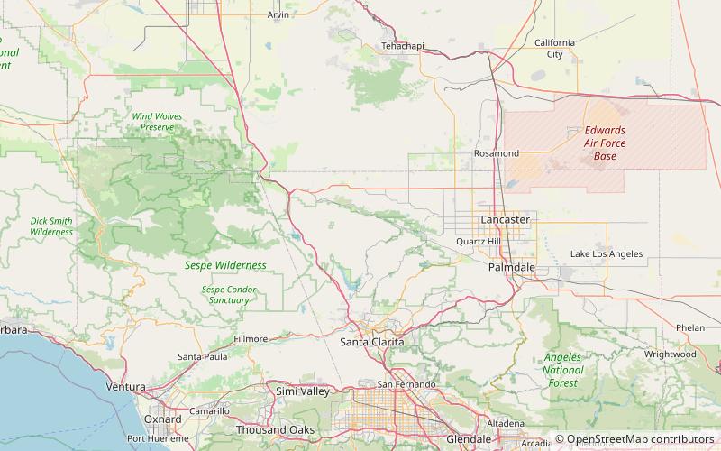
Map
Map
Gallery
Facts and practical information
Burnt Peak is the highest peak of the Sierra Pelona, located in northwestern Los Angeles County, Southern California. ()
Elevation: 5791 ftProminence: 2448 ftCoordinates: 34°40'57"N, 118°34'37"W
Address
Angeles National Forest
ContactAdd
Social media
Add
Day trips

