Cherry Run, Ricketts Glen State Park
Map

Map

Facts and practical information
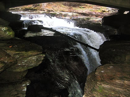
Cherry Run is a tributary of South Branch Bowman Creek in Luzerne County, Pennsylvania, in the United States. It is approximately 2.1 miles long and flows through Fairmount Township and Ross Township. The watershed of the stream has an area of 1.65 square miles. The surficial geology in its vicinity consists of alluvial fan, alluvium, bedrock, Wisconsinan Till, wetlands, and a peat bog. The stream has cascades and contains wild trout. ()
Length: 2.1 miCoordinates: 41°20'20"N, 76°14'35"W
Address
Ricketts Glen State Park
ContactAdd
Social media
Add
Day trips
Cherry Run – popular in the area (distance from the attraction)
Nearby attractions include: Waterfalls in Ricketts Glen State Park, Lake Rose, Lake Jean, Red Rock Mountain.


