Saengerfest Park, Galveston
Map
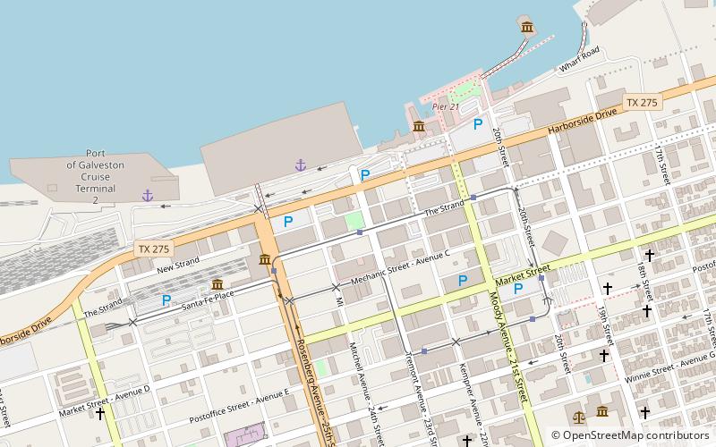
Map

Facts and practical information
Saengerfest Park is a small square park located on the corner of Tremont St and Strand St in the Strand Historic District of Galveston, Texas. The location includes a trolley stop, with a Fuddrucker's and a Yaga's Cafe nearby. ()
Elevation: 3 ft a.s.l.Coordinates: 29°18'26"N, 94°47'41"W
Day trips
Saengerfest Park – popular in the area (distance from the attraction)
Nearby attractions include: Bishop's Palace, Texas Building, Ashton Villa, City National Bank.
Frequently Asked Questions (FAQ)
Which popular attractions are close to Saengerfest Park?
Nearby attractions include Cornet Sculpture, Galveston (2 min walk), Strand Historic District, Galveston (3 min walk), Elissa Ship, Galveston (5 min walk), City National Bank, Galveston (5 min walk).
How to get to Saengerfest Park by public transport?
The nearest stations to Saengerfest Park:
Bus
Bus
- 14th & Seawall • Lines: Galveston Island Trolley Seawall (30 min walk)
- 19th & Seawall • Lines: Galveston Island Trolley Seawall (30 min walk)


