Oxford Community Arts Center, Oxford
Map

Map

Facts and practical information
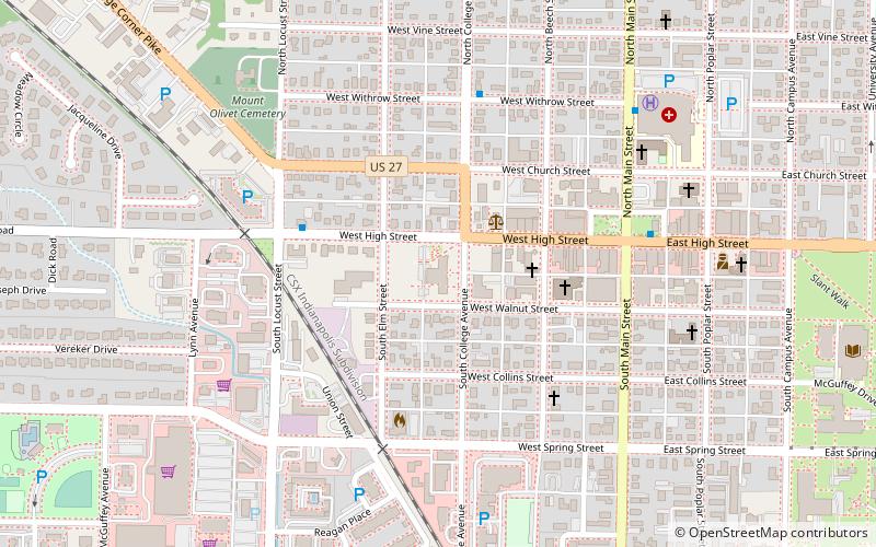
Oxford Community Arts Center (address: 10 S College Ave) is a place located in Oxford (Ohio state) and belongs to the category of museum, entertainment, art gallery.
It is situated at an altitude of 958 feet, and its geographical coordinates are 39°30'36"N latitude and 84°44'46"W longitude.
Among other places and attractions worth visiting in the area are: Oxford Female Institute (universities and schools, 1 min walk), Elias Kumler House (gothic revival architecture, 6 min walk), Hall Auditorium (music and shows, 11 min walk).
Coordinates: 39°30'36"N, 84°44'46"W
Day trips
Oxford Community Arts Center – popular in the area (distance from the attraction)
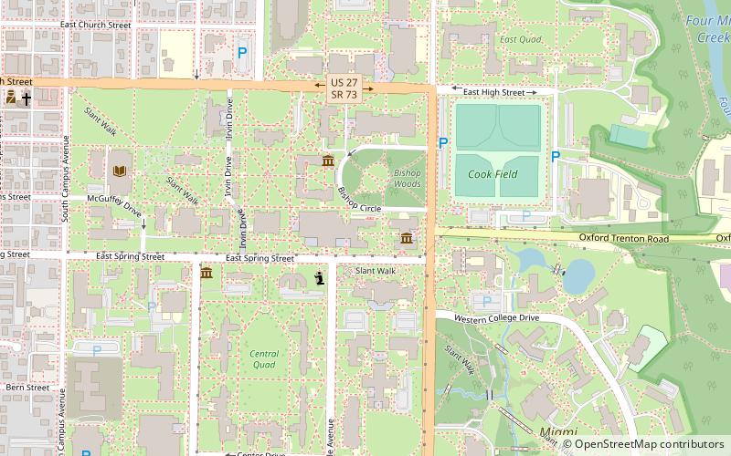
Nearby attractions include: McGuffey Museum, Sesquicentennial Chapel, King Library, Karl Limper Geology Museum.
Frequently Asked Questions (FAQ)
Which popular attractions are close to Oxford Community Arts Center?
Nearby attractions include Oxford Female Institute, Oxford (1 min walk), Elias Kumler House, Oxford (6 min walk), Hall Auditorium, Oxford (11 min walk), King Library, Oxford (12 min walk).


