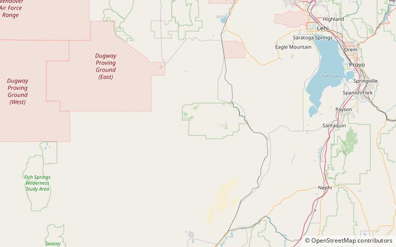
Sheeprock Mountains, Wasatch–Cache National Forest

Map
Facts and practical information
The Sheeprock Mountains are a 24-mile long mountain range located in extreme southeast Tooele County, Utah, and part of northeast Juab County. The range trends southeasterly and forms a section of the northeast perimeter of the large Sevier Desert, which lies southwest of the Sheeprock Mountains. ()
Maximum elevation: 9274 ftCoordinates: 39°59'4"N, 112°32'24"W
Address
Wasatch–Cache National Forest
ContactAdd
Social media
Add
Day trips
Sheeprock Mountains – popular in the area (distance from the attraction)
Nearby attractions include: Harker Canyon.
