Watertown Bridge, Watertown
Map

Gallery

Facts and practical information
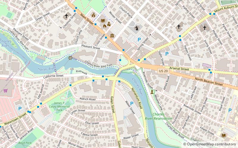
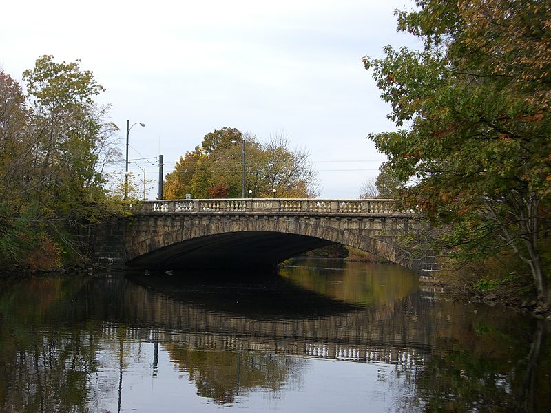
The Watertown Bridge is a five-lane traffic bridge over the Charles River, carrying Rt. 16 and Galen Street. It connects Watertown Square on the north side and Watertown Yard on the south side of Watertown, Massachusetts. Pedestrian walkways line each side. ()
Opened: 1907 (119 years ago)Coordinates: 42°21'53"N, 71°11'8"W
Address
Newton (Newton Corner)Watertown
ContactAdd
Social media
Add
Day trips
Watertown Bridge – popular in the area (distance from the attraction)
Nearby attractions include: Armenian Library and Museum of America, Oakley Country Club, Jackson Homestead, Evangelical Baptist Church.
Frequently Asked Questions (FAQ)
Which popular attractions are close to Watertown Bridge?
Nearby attractions include Armenian Library and Museum of America, Watertown (4 min walk), Watertown Dam, Watertown (5 min walk), Edmund Fowle House, Watertown (9 min walk), Henry Bigelow House, Newton (10 min walk).
How to get to Watertown Bridge by public transport?
The nearest stations to Watertown Bridge:
Bus
Train
Bus
- Watertown Yard • Lines: 502, 504, 57 (1 min walk)
- Galen St @ Boyd St • Lines: 502, 504, 57 (9 min walk)
Train
- Newtonville (35 min walk)


