Van Vorst Park, Jersey City
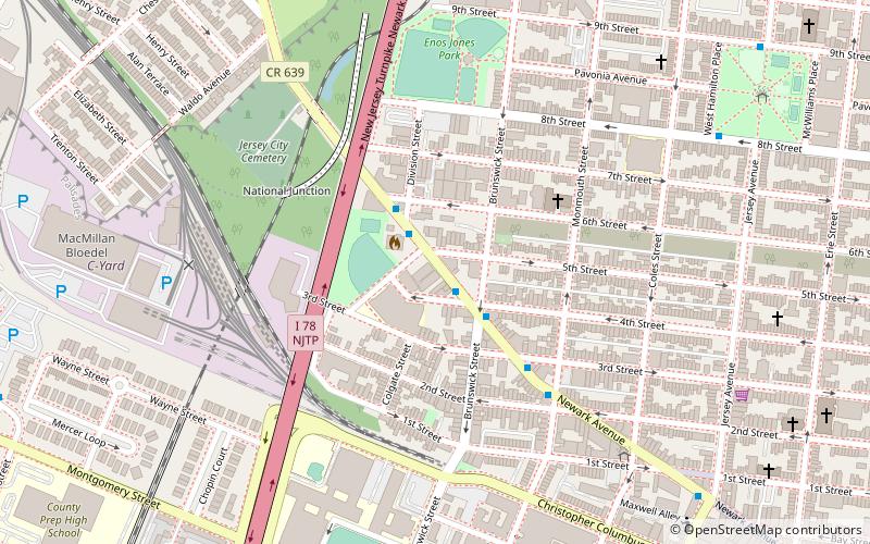
Map
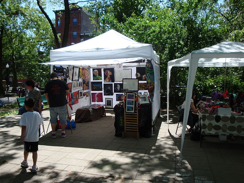
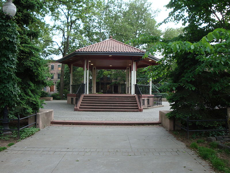
Gallery
Facts and practical information
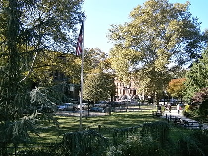
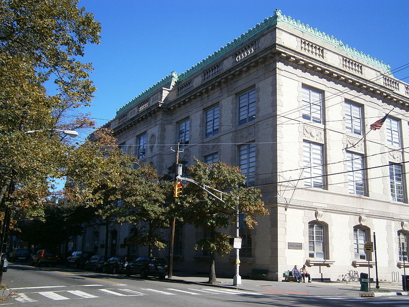
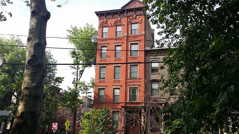
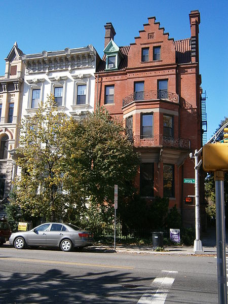
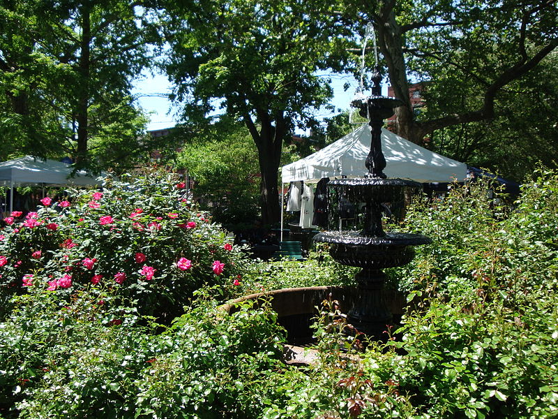
Van Vorst Park is a neighborhood in the Historic Downtown of Jersey City, Hudson County, New Jersey, United States, centered on a park sharing the same name. The neighborhood is located west of Paulus Hook and Marin Boulevard, north of Grand Street, east of the Turnpike Extension, and south of The Village and Christopher Columbus Drive. Much of it is included in the Van Vorst Park Historical District. ()
Elevation: 7 ft a.s.l.Coordinates: 40°43'6"N, 74°2'48"W
Day trips
Van Vorst Park – popular in the area (distance from the attraction)
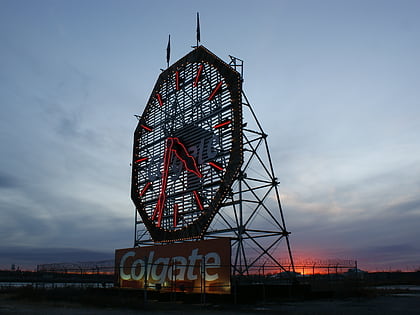
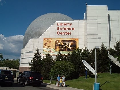
Nearby attractions include: Newport Centre, White Eagle Hall, Colgate Clock, Liberty Science Center.
Frequently Asked Questions (FAQ)
Which popular attractions are close to Van Vorst Park?
Nearby attractions include Barrow Mansion, Jersey City (5 min walk), Jersey City Museum, Jersey City (6 min walk), Grove Street Bicycles Giant Jersey City, Jersey City (7 min walk), Dixon Mills, Jersey City (8 min walk).
How to get to Van Vorst Park by public transport?
The nearest stations to Van Vorst Park:
Light rail
Metro
Ferry
Bus
Train
Light rail
- Jersey Avenue • Lines: Hblr (6 min walk)
- Marin Boulevard • Lines: Hblr (9 min walk)
Metro
- Grove Street • Lines: Jsq–33, JSQ–33 via HOB, Nwk–Wtc (7 min walk)
- Exchange Place • Lines: Hob–Wtc, Nwk–Wtc (19 min walk)
Ferry
- Liberty Harbor Marin Boulevard (13 min walk)
- Warren Street (16 min walk)
Bus
- Marin Boulevard at Thomas Gengemi Drive • Lines: 126 (16 min walk)
- Hamilton Park • Lines: 126 (17 min walk)
Train
- Hoboken Terminal (40 min walk)
