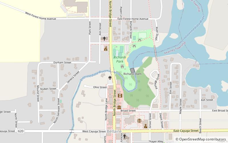
M-88–Intermediate River Bridge, Bellaire
Map

Map

Facts and practical information
The M-88–Intermediate River Bridge is a bridge located on M-88 over the Intermediate River in Bellaire, Michigan, United States. It was listed on the National Register of Historic Places in 1999. It is a noteworthy product of Depression-era relief work. ()
Built: 1930 (96 years ago)Coordinates: 44°58'43"N, 85°12'36"W
Address
Bellaire
ContactAdd
Social media
Add
Day trips
M-88–Intermediate River Bridge – popular in the area (distance from the attraction)
Nearby attractions include: Richardi Park, Bellaire Area Historical Society and Museum, Holtz Site.
Frequently Asked Questions (FAQ)
Which popular attractions are close to M-88–Intermediate River Bridge?
Nearby attractions include Richardi Park, Bellaire (2 min walk), Bellaire Area Historical Society and Museum, Bellaire (4 min walk), Holtz Site, Bellaire (9 min walk).


