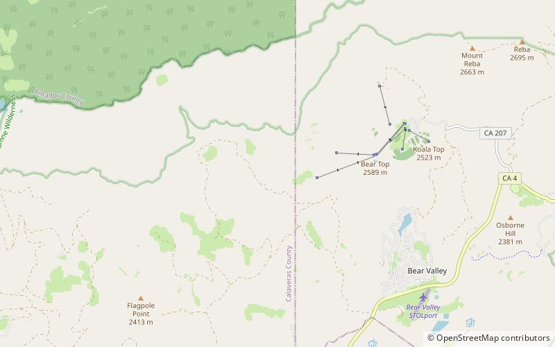
Corral Ridge, Stanislaus National Forest

Map
Facts and practical information
Corral Ridge or Corral Hollow Hill, a minor summit in the Sierra Nevada, is the highest point in Calaveras County. It stands nearly 4,000 feet above the North Fork of the Mokelumne River. Located near the Alpine county line, it is east of the Salt Springs Reservoir and west of the town of Bear Valley. Due to its high elevation much of the precipitation that the summit receives is in the form of snow. ()
Elevation: 8174 ftProminence: 210 ftCoordinates: 38°29'0"N, 120°4'37"W
Address
Stanislaus National Forest
ContactAdd
Social media
Add
Day trips
Corral Ridge – popular in the area (distance from the attraction)
Nearby attractions include: Mokelumne Peak, Bear Valley.

