Fake Peak, Denali National Park

Map
Facts and practical information
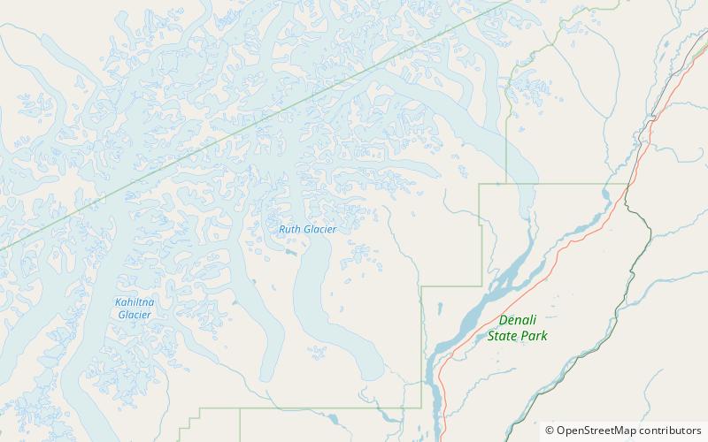
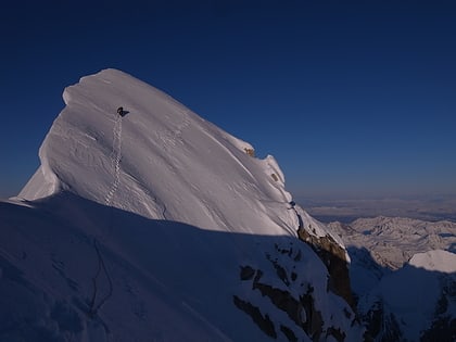
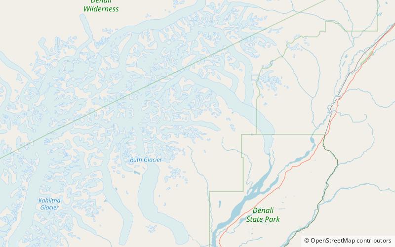
Fake Peak is a small outcrop on a ridge beside the Ruth Glacier in Denali National Park and Preserve in Alaska, US, 19 miles southeast of the summit of Denali. It has been shown by Robert M. Bryce that the "summit photograph" produced by Frederick Cook as evidence supporting his claim to have made the first ascent of Denali was taken on Fake Peak. At 5,338 feet, this is almost 15,000 feet lower than the true summit of Denali. ()
Elevation: 5338 ftCoordinates: 62°54'18"N, 150°30'22"W
Address
Denali National Park
ContactAdd
Social media
Add
Day trips
Fake Peak – popular in the area (distance from the attraction)
Nearby attractions include: The Moose's Tooth, Buckskin Glacier.

