Silas N. Pearman Bridge, Charleston
Map
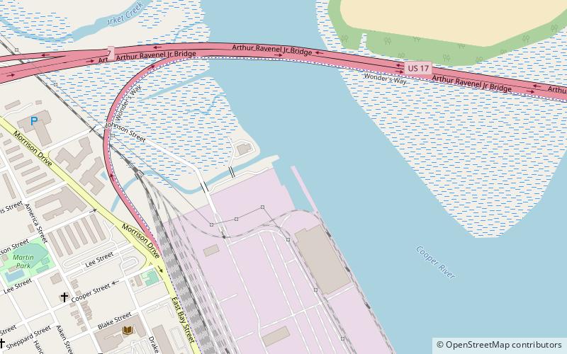
Map

Facts and practical information
The Silas N. Pearman Bridge, known locally as the New Cooper River Bridge from the opening date to the groundbreaking of its replacement, was a cantilever bridge that crossed the Cooper River in Charleston, South Carolina, United States. It opened in 1966 to relieve traffic congestion on the companion John P. Grace Memorial Bridge. It was built by the South Carolina Department of Transportation and was designed by HNTB Corporation. ()
Width: 40 ftHeight: 250 ftCoordinates: 32°48'6"N, 79°55'52"W
Address
Charleston
ContactAdd
Social media
Add
Day trips
Silas N. Pearman Bridge – popular in the area (distance from the attraction)
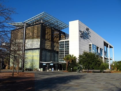
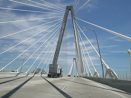
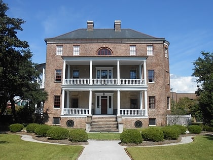
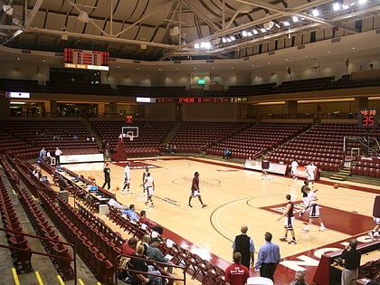
Nearby attractions include: South Carolina Aquarium, Arthur Ravenel Jr. Bridge, Joseph Manigault House, TD Arena.
Frequently Asked Questions (FAQ)
Which popular attractions are close to Silas N. Pearman Bridge?
Nearby attractions include John P. Grace Memorial Bridge, Charleston (1 min walk), Emma Abbott Memorial Chapel, Charleston (12 min walk), Martin Park, Charleston (13 min walk), St. John's Protestant Episcopal Church, Charleston (16 min walk).

