Veterans Memorial Park, Davenport
Map
Map

Facts and practical information
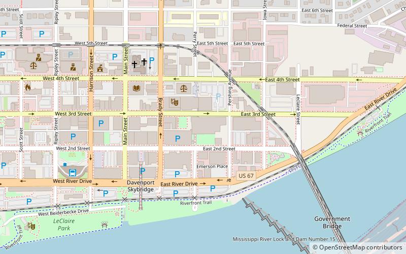
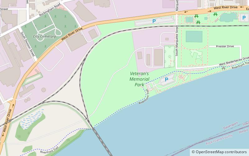
Veterans Memorial Park is one of four parks located along the Mississippi River in downtown Davenport, Iowa, United States. The other three are Centennial Park, which is immediately to the east of Veterans Park, LeClaire Park and River Heritage Park, which is being developed on the far east side of downtown on land that had been used for industrial purposes. The Riverfront Parkway passes through the south side of the park. ()
Created: 2011Elevation: 568 ft a.s.l.Coordinates: 41°30'60"N, 90°35'40"W
Address
West End (Southwest Gateway)Davenport
ContactAdd
Social media
Add
Day trips
Veterans Memorial Park – popular in the area (distance from the attraction)
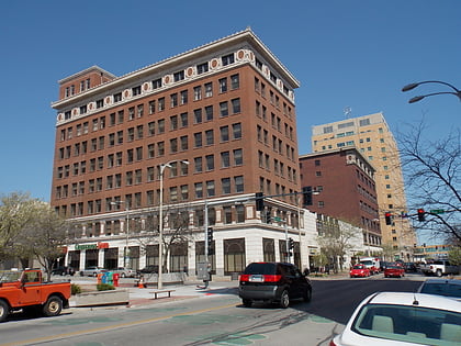
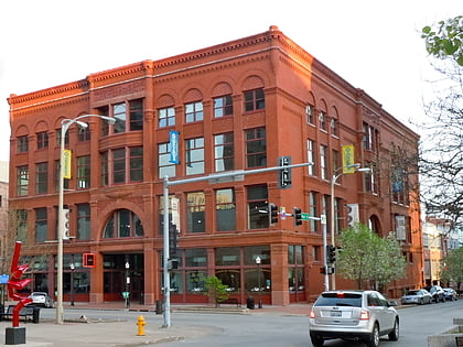
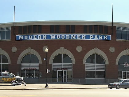
Nearby attractions include: Putnam-Parker Block, J.H.C. Petersen's Sons' Store, Modern Woodmen Park, Putnam Museum.
Frequently Asked Questions (FAQ)
Which popular attractions are close to Veterans Memorial Park?
Nearby attractions include Crescent Rail Bridge, Davenport (8 min walk), Nicholas Koester Building, Davenport (10 min walk), Centennial Park, Davenport (10 min walk), Frick's Tavern, Davenport (10 min walk).
How to get to Veterans Memorial Park by public transport?
The nearest stations to Veterans Memorial Park:
Bus
Bus
- Ground Transportation Center (24 min walk)

