St. Peter's Rock Baptist Church, Little Rock

Facts and practical information
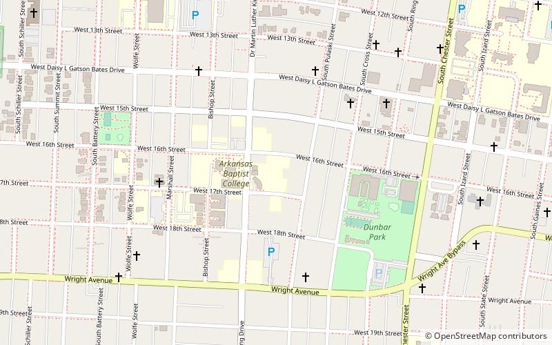
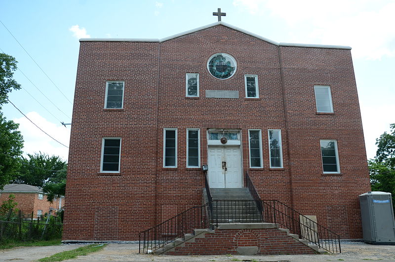
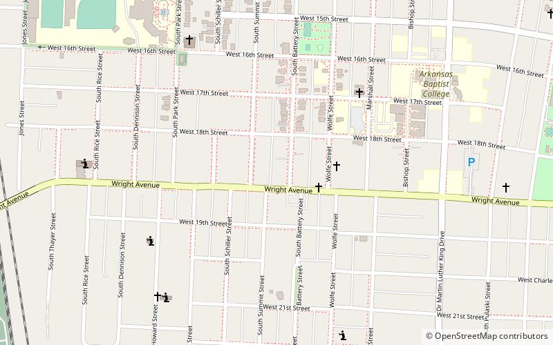
St. Peter's Rock Baptist Church is a historic former church building at 1401 West 18th Street in Little Rock, Arkansas. It is a two-story vernacular brick structure, its main facade featuring a slightly recessed central section with a gable topped by a cross above. The church was built in 1941 for an African-American congregation established in the 1890s. This was the congregation's first purpose-built home, which it occupied until moving to larger quarters on Brown Street in 1975. It has been owned since then by the Greater Little Rock Singing Quartet Center, and continues to serve as a community meeting and performance space. ()
Quapaw QuarterLittle Rock
- Bus
- Tram
- Train
 Bus
Bus
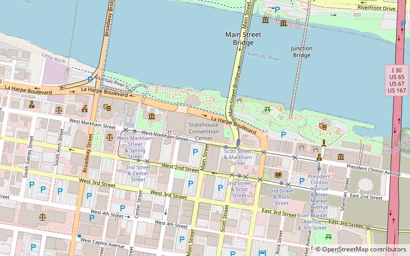
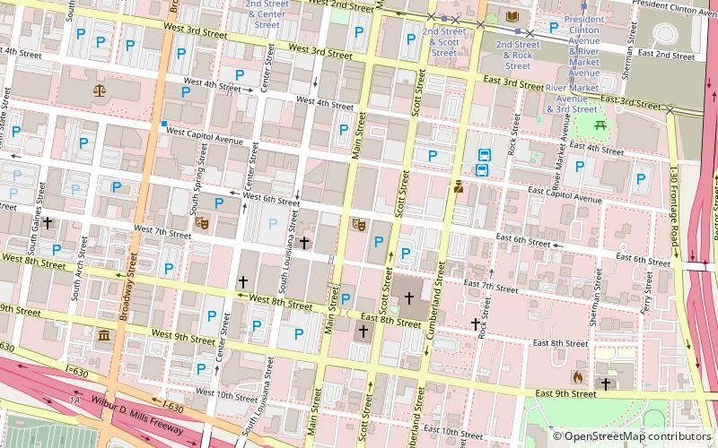
- Calculate routeLittle Rock 28 min walk
- Calculate route2nd Street & Center Street 32 min walk
- Calculate routeWest Markham Street & Scott Street 36 min walk
- Calculate routeCentral Arkansas Transit Authority Bus Terminal 34 min walk
St. Peter's Rock Baptist Church – popular in the area (distance from the attraction)
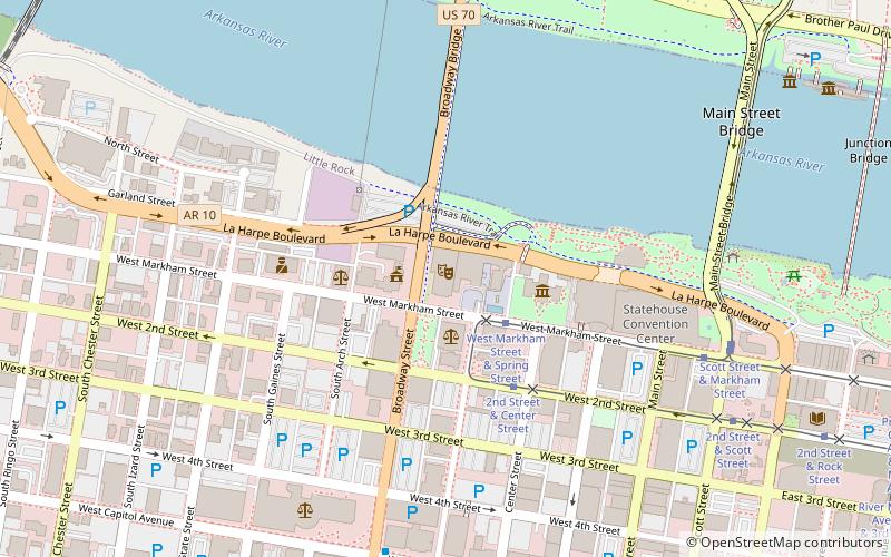
Nearby attractions include: Statehouse Convention Center, Arkansas Repertory Theatre, Central High School Neighborhood Historic District, Robinson Center.


Frequently Asked Questions (FAQ)
Which popular attractions are close to St. Peter's Rock Baptist Church?
How to get to St. Peter's Rock Baptist Church by public transport?
Train
- Little Rock (28 min walk)
Tram
- 2nd Street & Center Street • Lines: Blue, Green (32 min walk)
- West Markham Street & Scott Street • Lines: Blue, Green (36 min walk)
Bus
- Central Arkansas Transit Authority Bus Terminal (34 min walk)