Lake Waramaug State Park, New Preston
Map

Map

Facts and practical information
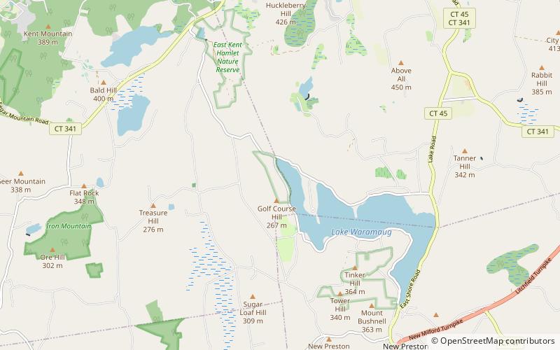
Lake Waramaug State Park is a 95-acre public recreation area located on the northwest shore of Lake Waramaug in the town of Kent, Litchfield County, Connecticut. The state park's first 75 acres were purchased by the state in 1920. The park offers swimming, fishing, picnicking, camping, and a launch for car-top boating and canoeing. ()
Established: 1920 (106 years ago)Elevation: 699 ft a.s.l.Coordinates: 41°42'23"N, 73°22'57"W
Day trips
Lake Waramaug State Park – popular in the area (distance from the attraction)
Nearby attractions include: Mount Tom State Park, Eric Sloane Museum, Kent Historical Society, Kent Falls State Park.


