City Hall Park Historic District, Burlington
Map

Map

Facts and practical information
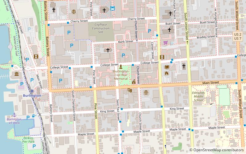
The City Hall Park Historic District encompasses one of the central economic, civic, and public spaces of the city of Burlington, Vermont. Centered on City Hall Park, the area's architecture encapsulates the city's development from a frontier town to an urban commercial center. The district was listed on the National Register of Historic Places in 1983. ()
Coordinates: 44°28'35"N, 73°12'49"W
Address
Downtown BurlingtonBurlington
ContactAdd
Social media
Add
Day trips
City Hall Park Historic District – popular in the area (distance from the attraction)
Nearby attractions include: Church Street Marketplace, Burlington Town Center, ECHO Lake Aquarium and Science Center, Unitarian Church.
Frequently Asked Questions (FAQ)
Which popular attractions are close to City Hall Park Historic District?
Nearby attractions include The BCA Center, Burlington (2 min walk), Wells-Richardson Complex, Burlington (2 min walk), First Baptist Church, Burlington (3 min walk), Courthouse Plaza, Burlington (3 min walk).
How to get to City Hall Park Historic District by public transport?
The nearest stations to City Hall Park Historic District:
Bus
Bus
- Downtown Transit Center (7 min walk)


