Broadway Bridge, Little Rock
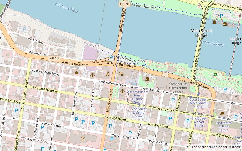
Map
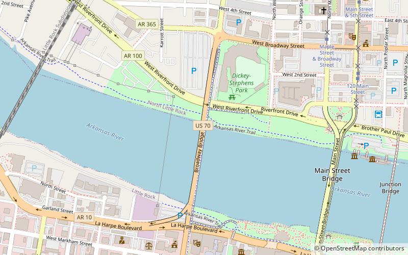
Map

Facts and practical information
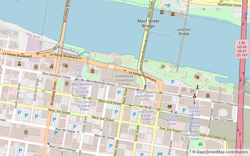
The Broadway Bridge is an arch bridge that spans the Arkansas River connecting the cities of Little Rock, Arkansas and North Little Rock, Arkansas. It carries U.S. Route 70. The current bridge opened to traffic in March 2017. The original bridge was demolished in 2016. It was also an arch bridge and it opened in 1923. ()
Completed: 1923 (103 years ago)Coordinates: 34°45'12"N, 92°16'27"W
Day trips
Broadway Bridge – popular in the area (distance from the attraction)
Nearby attractions include: Simmons Bank Arena, Dickey-Stephens Park, Statehouse Convention Center, Old State House.
Frequently Asked Questions (FAQ)
Which popular attractions are close to Broadway Bridge?
Nearby attractions include Dickey-Stephens Park, North Little Rock (5 min walk), Robinson Center, Little Rock (8 min walk), Little Rock City Hall, Little Rock (8 min walk), Old Little Rock Central Fire Station, Little Rock (8 min walk).
How to get to Broadway Bridge by public transport?
The nearest stations to Broadway Bridge:
Tram
Bus
Train
Tram
- West Markham Street & Spring Street • Lines: Blue, Green (9 min walk)
- Maple Street & Broadway Street • Lines: Blue (10 min walk)
Bus
- Greyhound.. Little Rock. AR (11 min walk)
- Central Arkansas Transit Authority Bus Terminal (19 min walk)
Train
- Little Rock (20 min walk)


