Panguitch Lake, Dixie National Forest
Map

Gallery

Facts and practical information
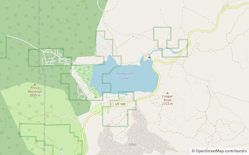
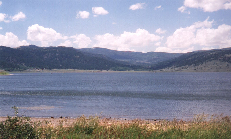
Panguitch Lake was originally a large natural lake that has now been expanded by the creation of a 24-foot dam to become a reservoir with a maximum surface area of 1,248 acres. The lake, which drains into the Sevier River is located on the Markagunt Plateau, between Panguitch, Utah and Cedar Breaks National Monument. The lake is located in the Dixie National Forest in a high tourist use area near three national parks and one national monument. ()
Elevation: 8215 ft a.s.l.Coordinates: 37°42'57"N, 112°38'31"W
Address
Dixie National Forest
ContactAdd
Social media
Add
