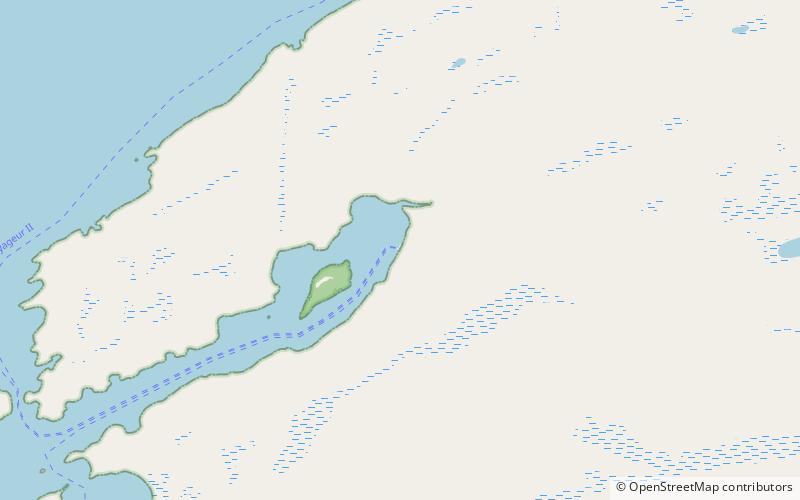
Windigo Ranger Station, Isle Royale National Park

Map
Facts and practical information
Windigo Ranger Station, or simply Windigo, is a docking and refueling port on Isle Royale, the largest island in Lake Superior, and is a ranger station for Isle Royale National Park. ()
Coordinates: 47°54'42"N, 89°9'28"W
Address
Isle Royale National Park
ContactAdd
Social media
Add